hiking
I like to spend time in nature. Here is a collection of hikes I have done, with routes, photos, and further information.
Click a marker on the map to jump to that hike.
Hikes (chronological)
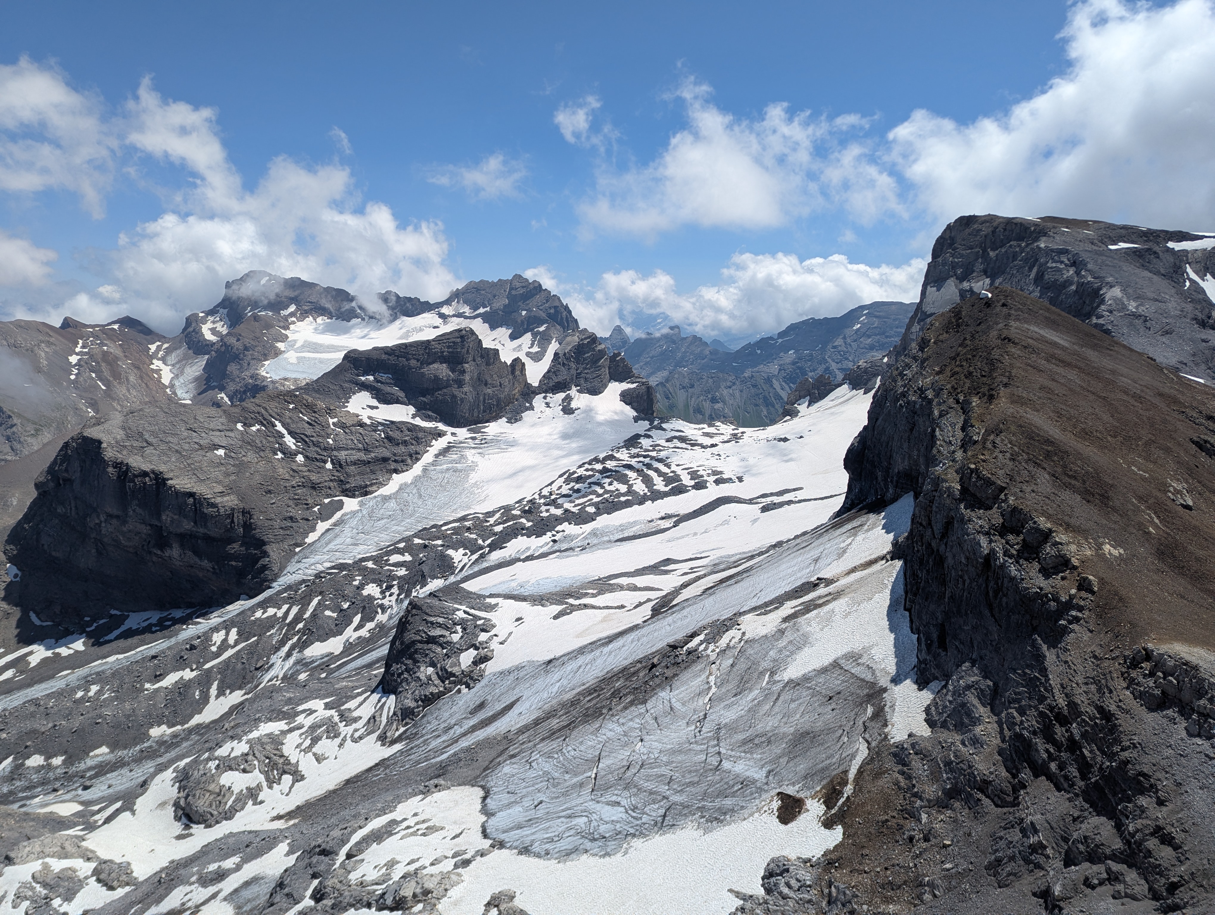
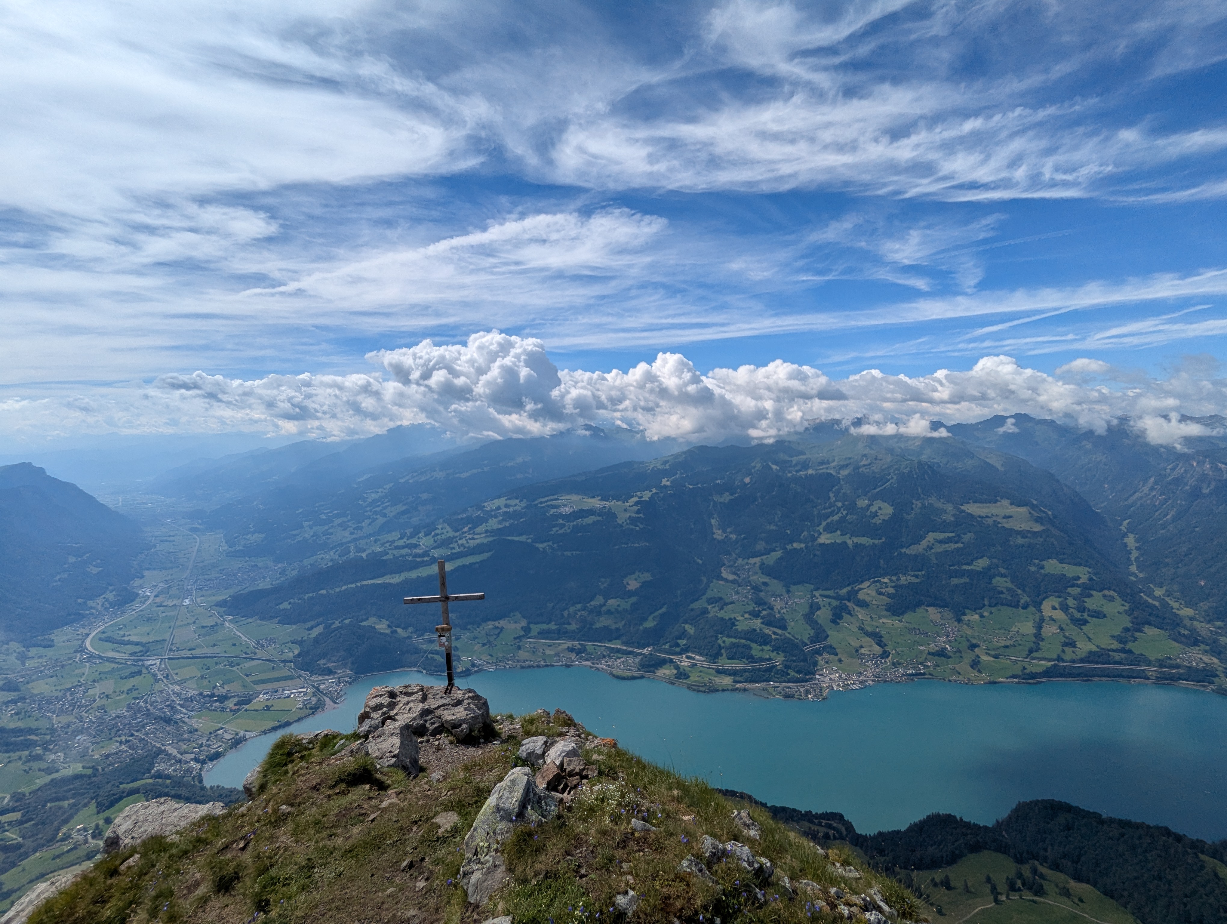
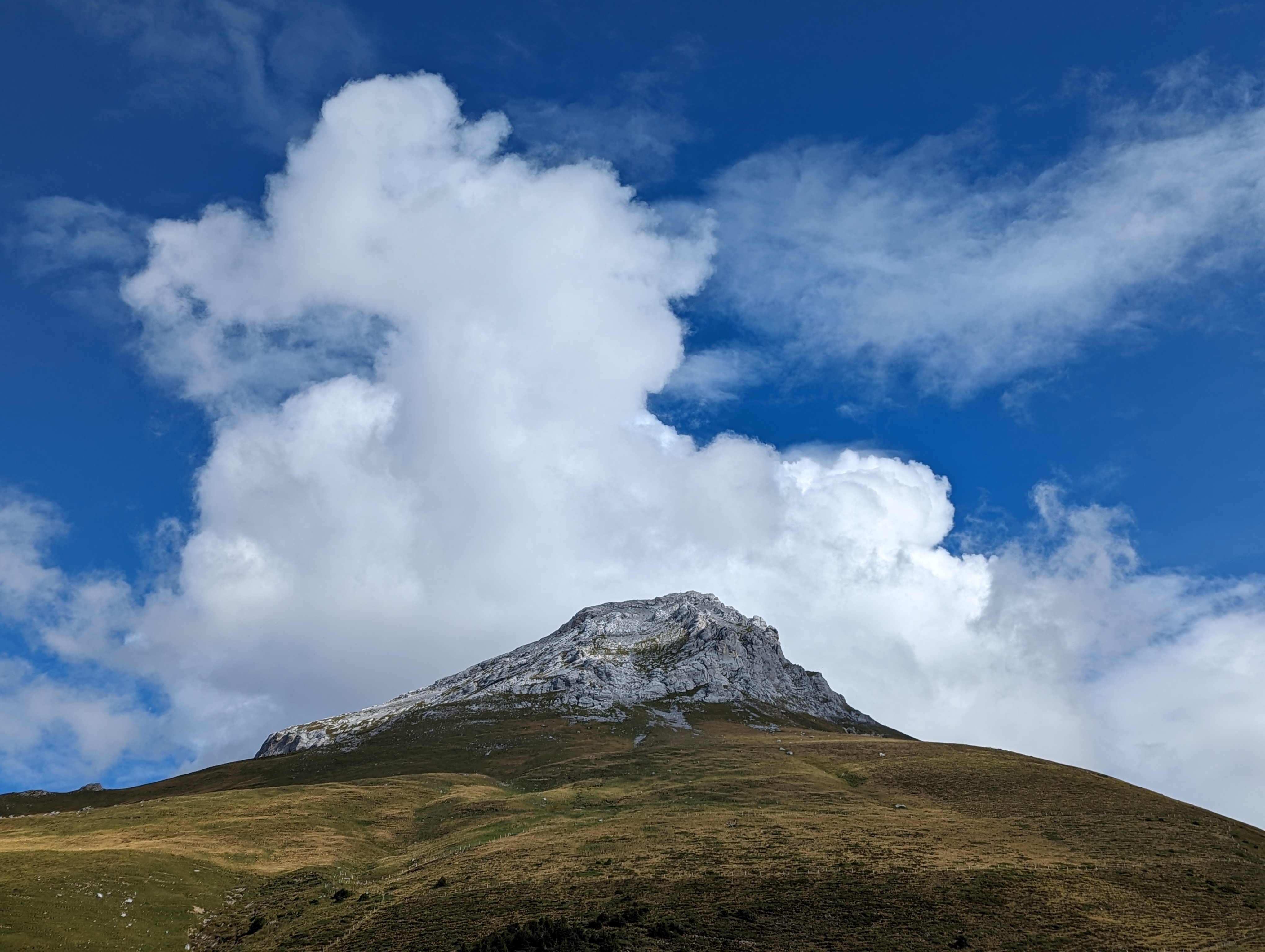
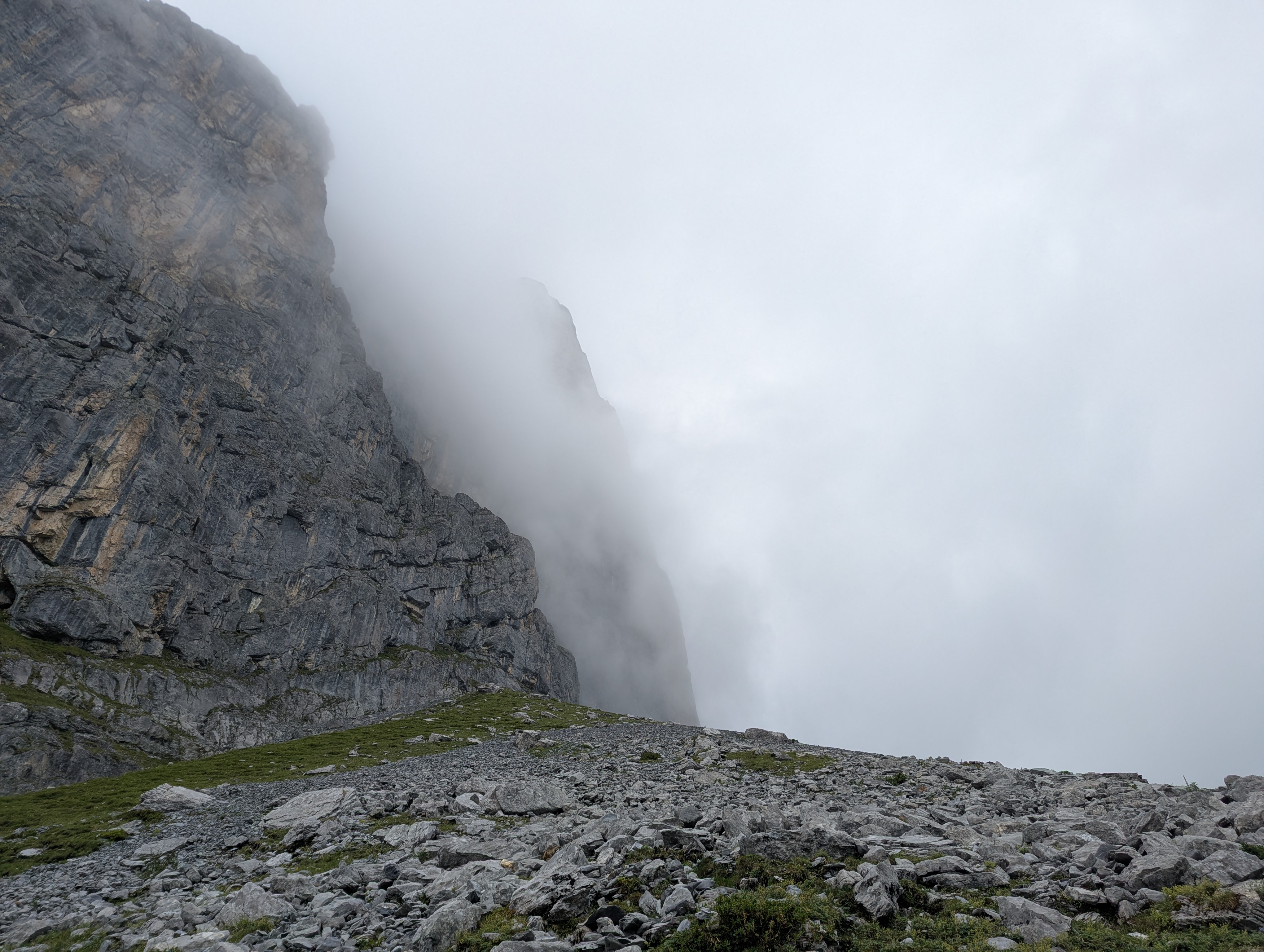
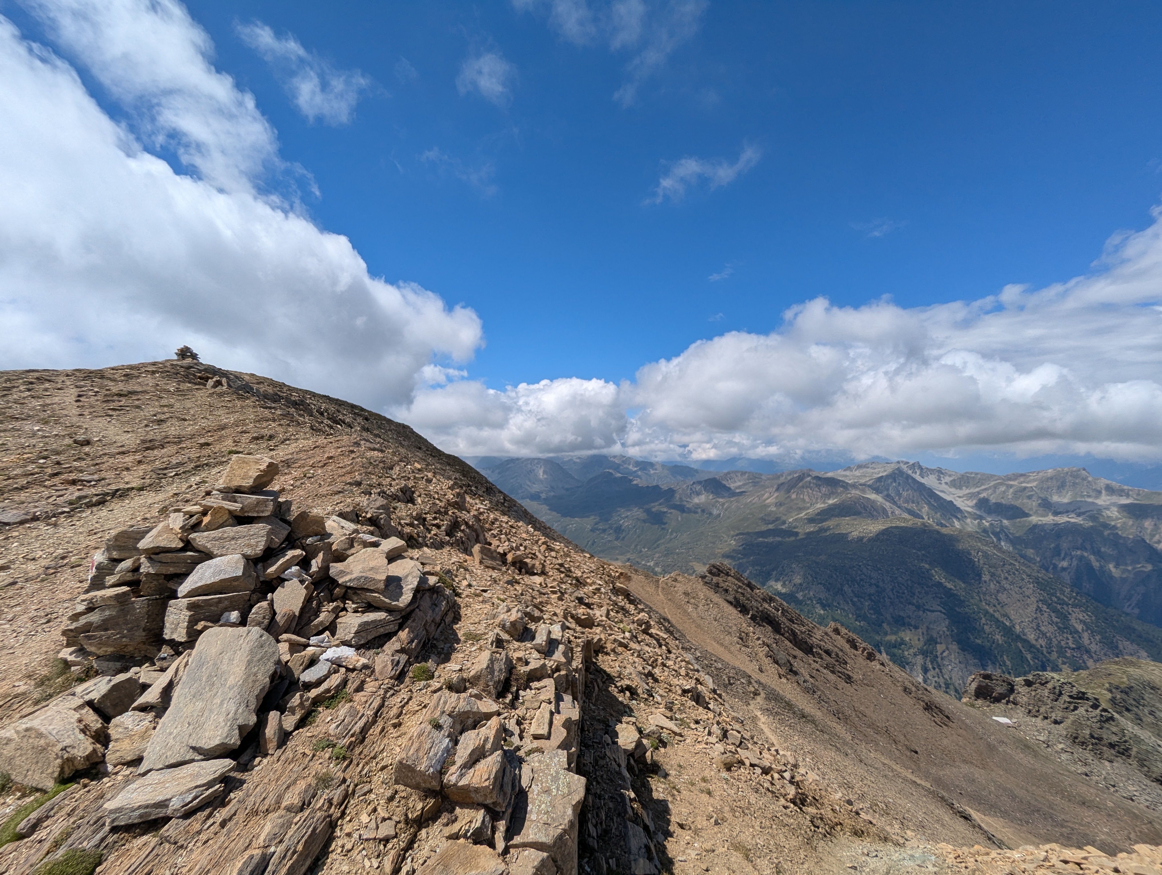
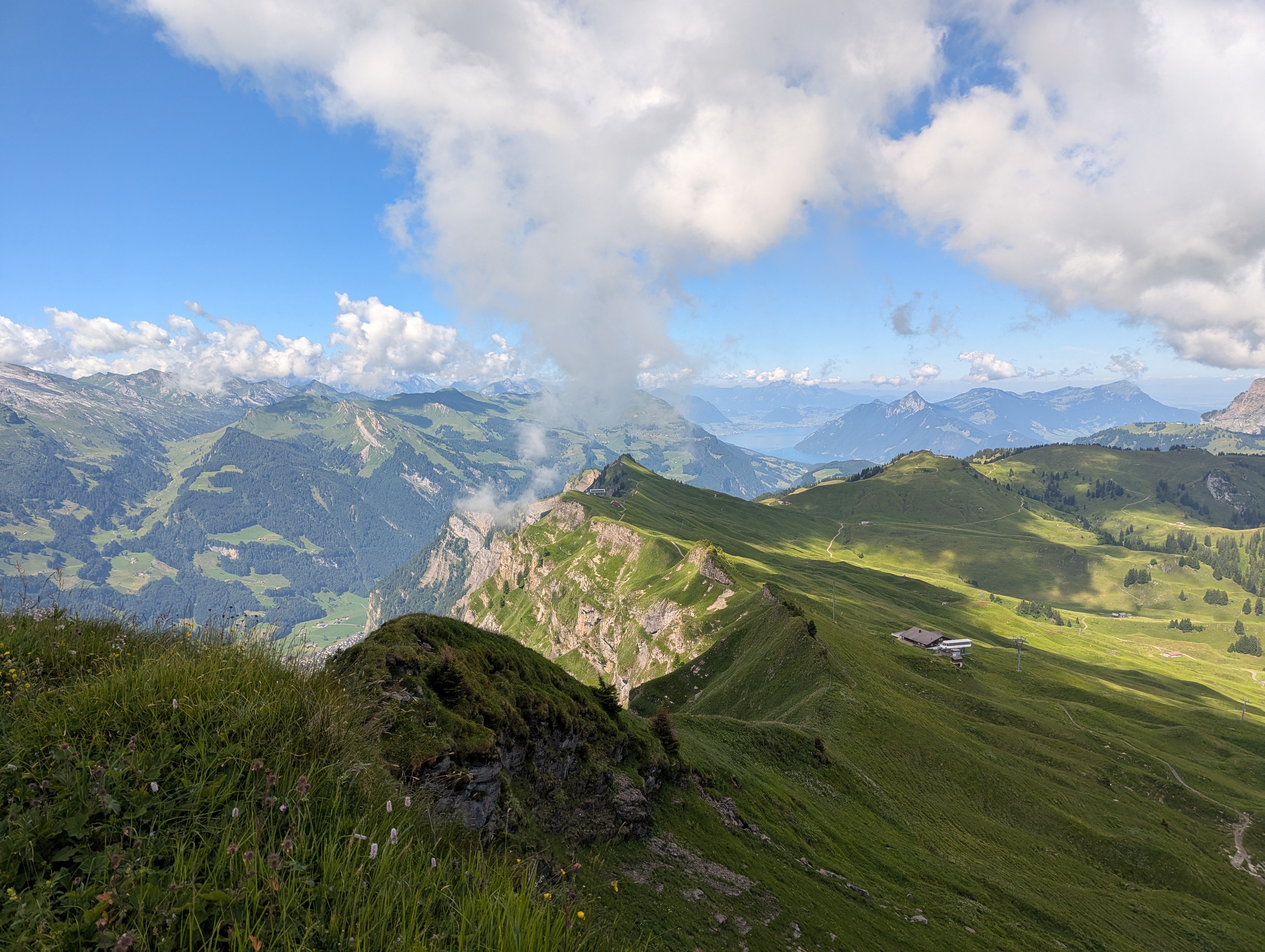
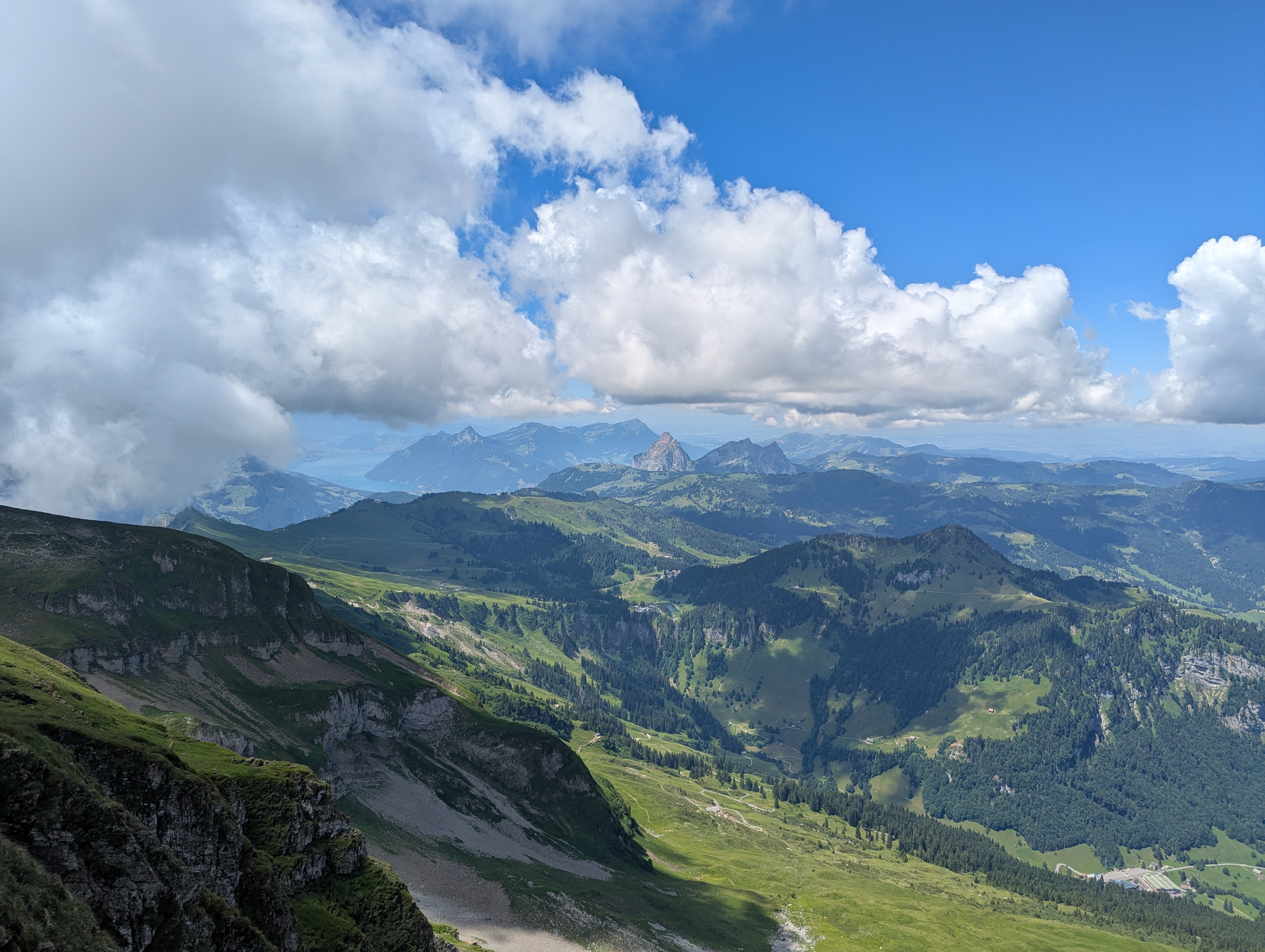
Engelberger Lücke & Rotstock
Download GPX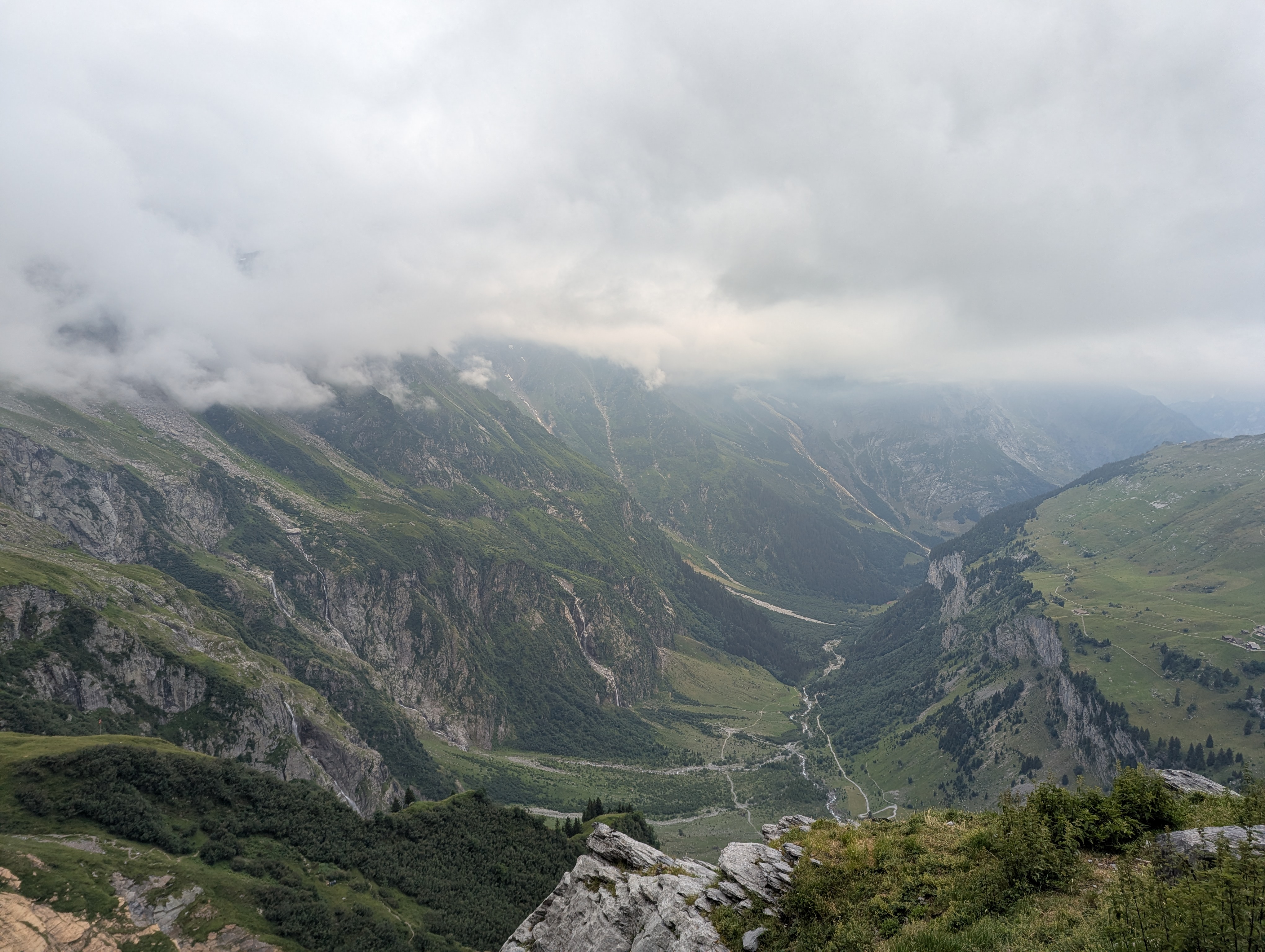
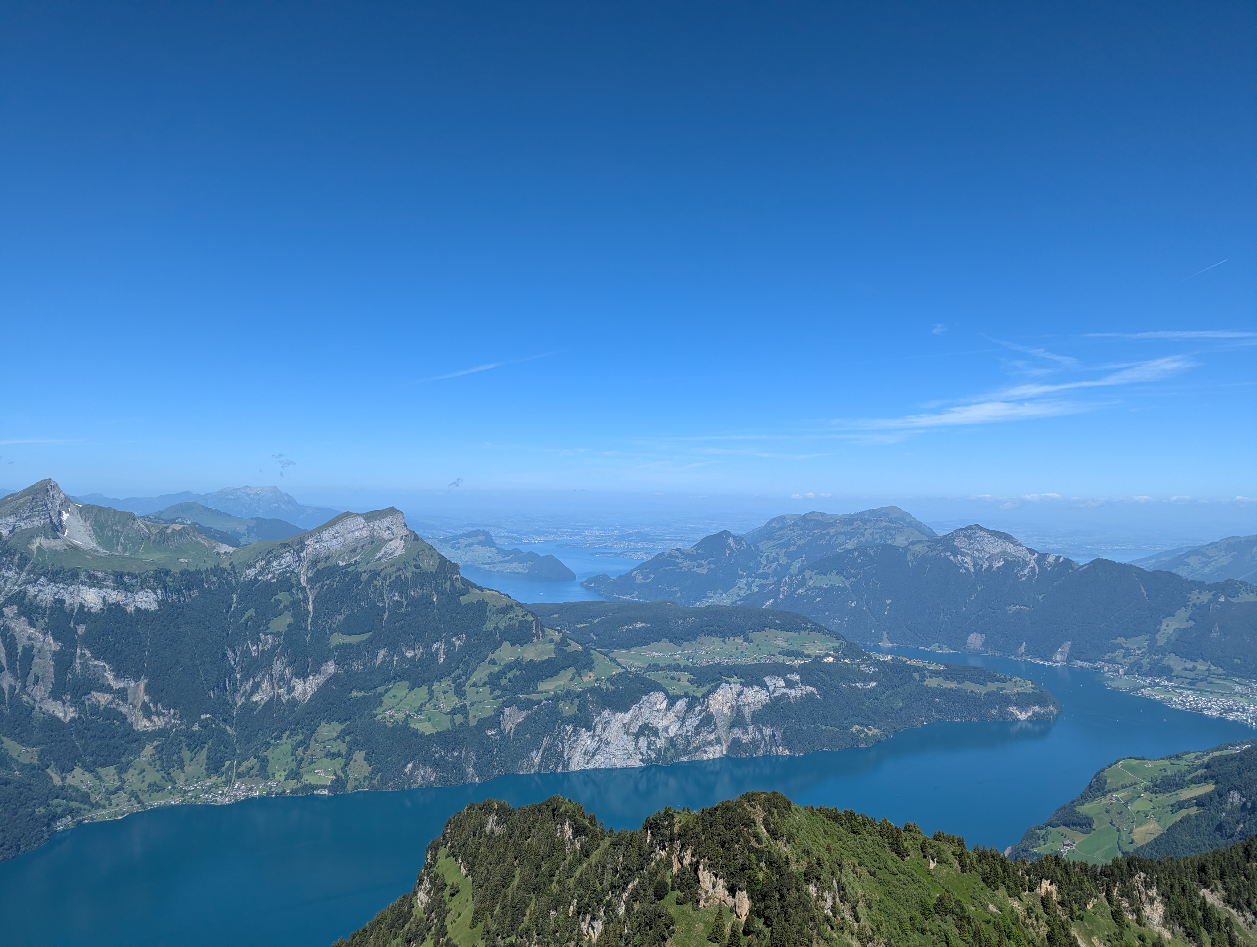
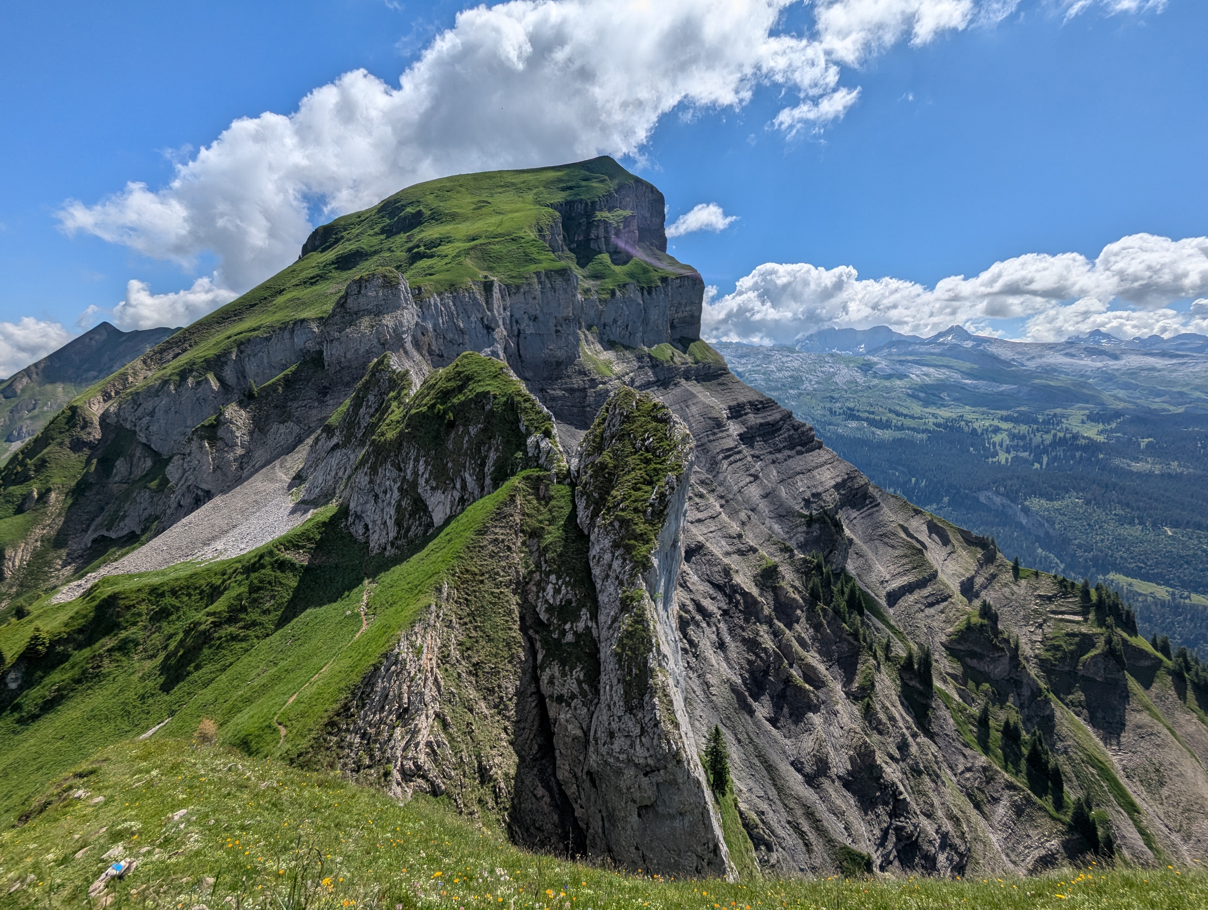
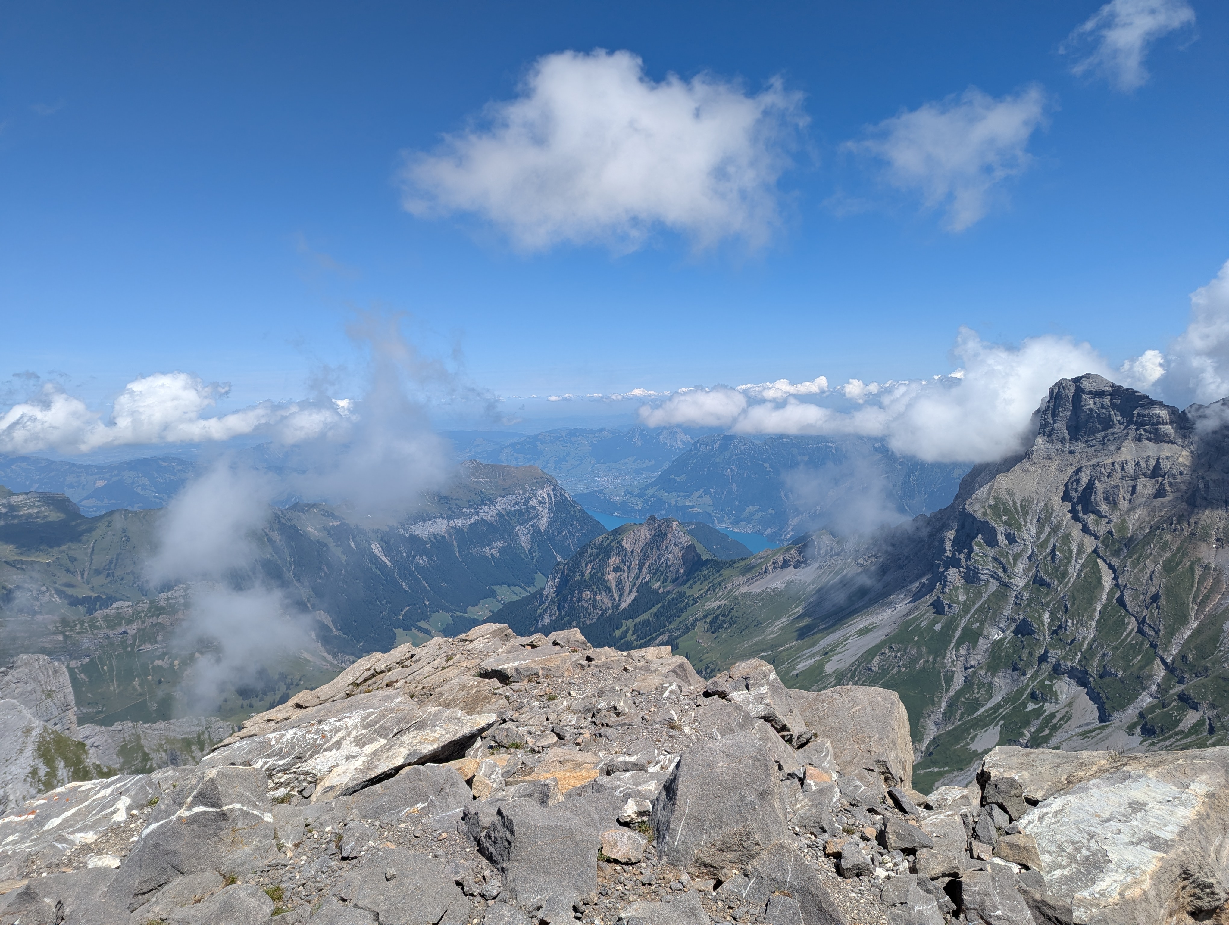
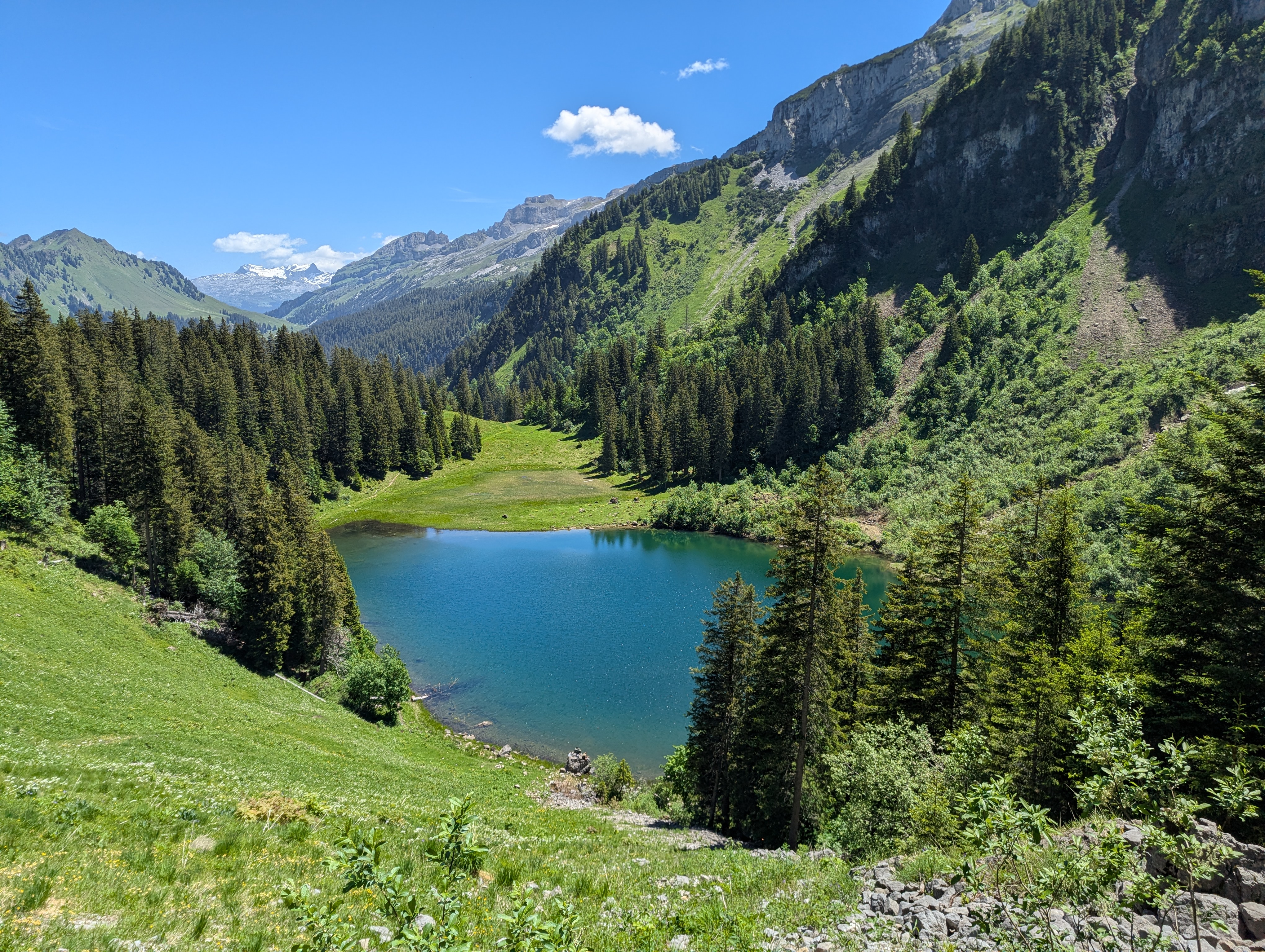
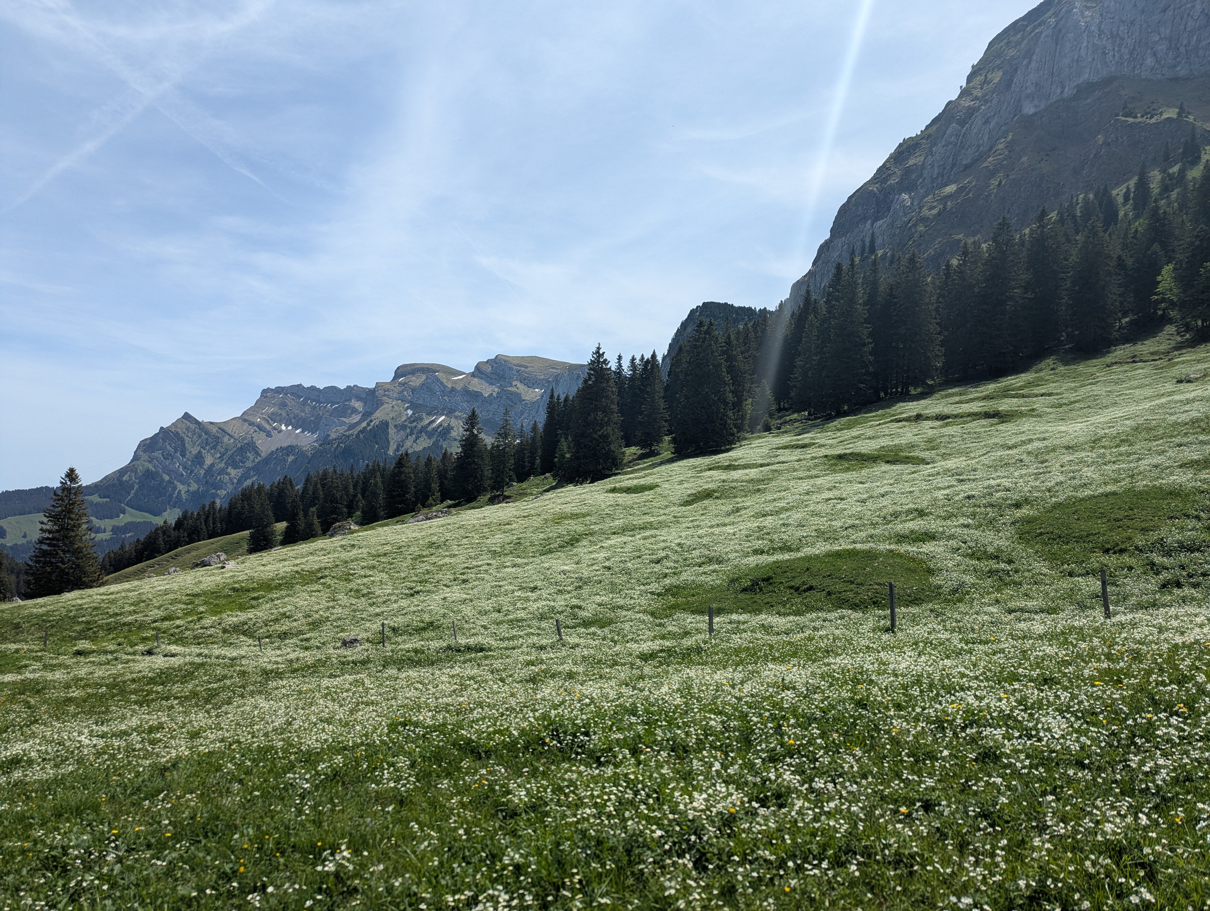
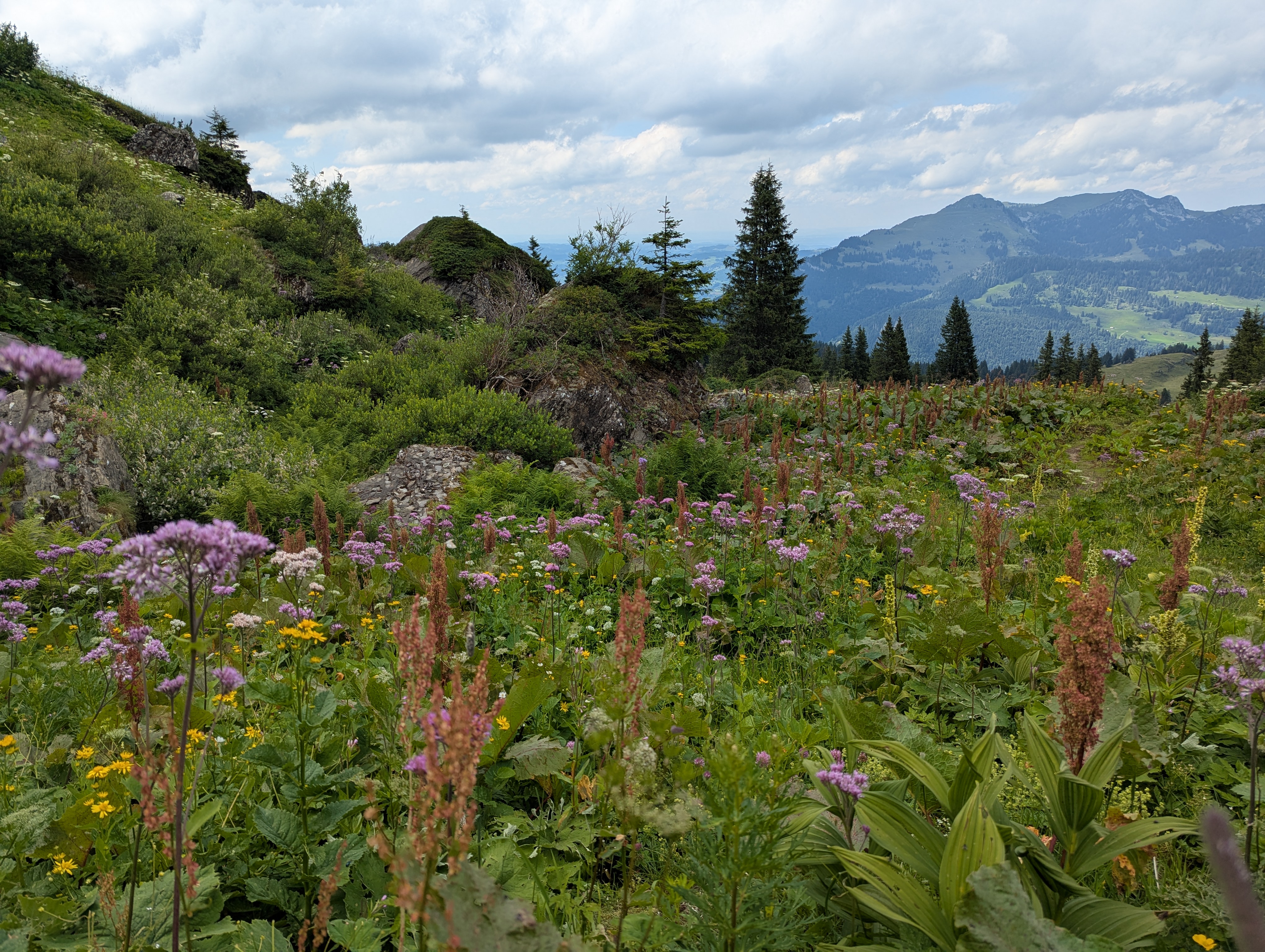
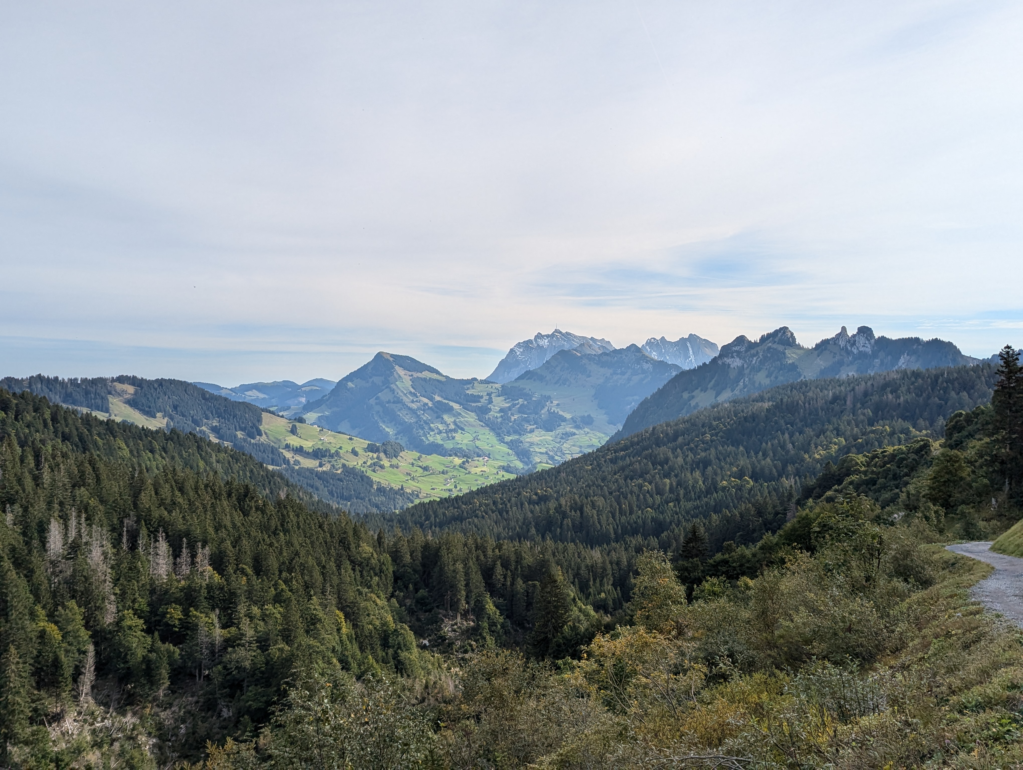
Rophaien
Download GPXSteep and slippery ascent, might be sketchy if it rained the day before. Aplersee is perfect for lunch and a swim. Recommended to reserve a seat on the bus from Riemenstalden to Sisikon (tiny bus, limited seats).
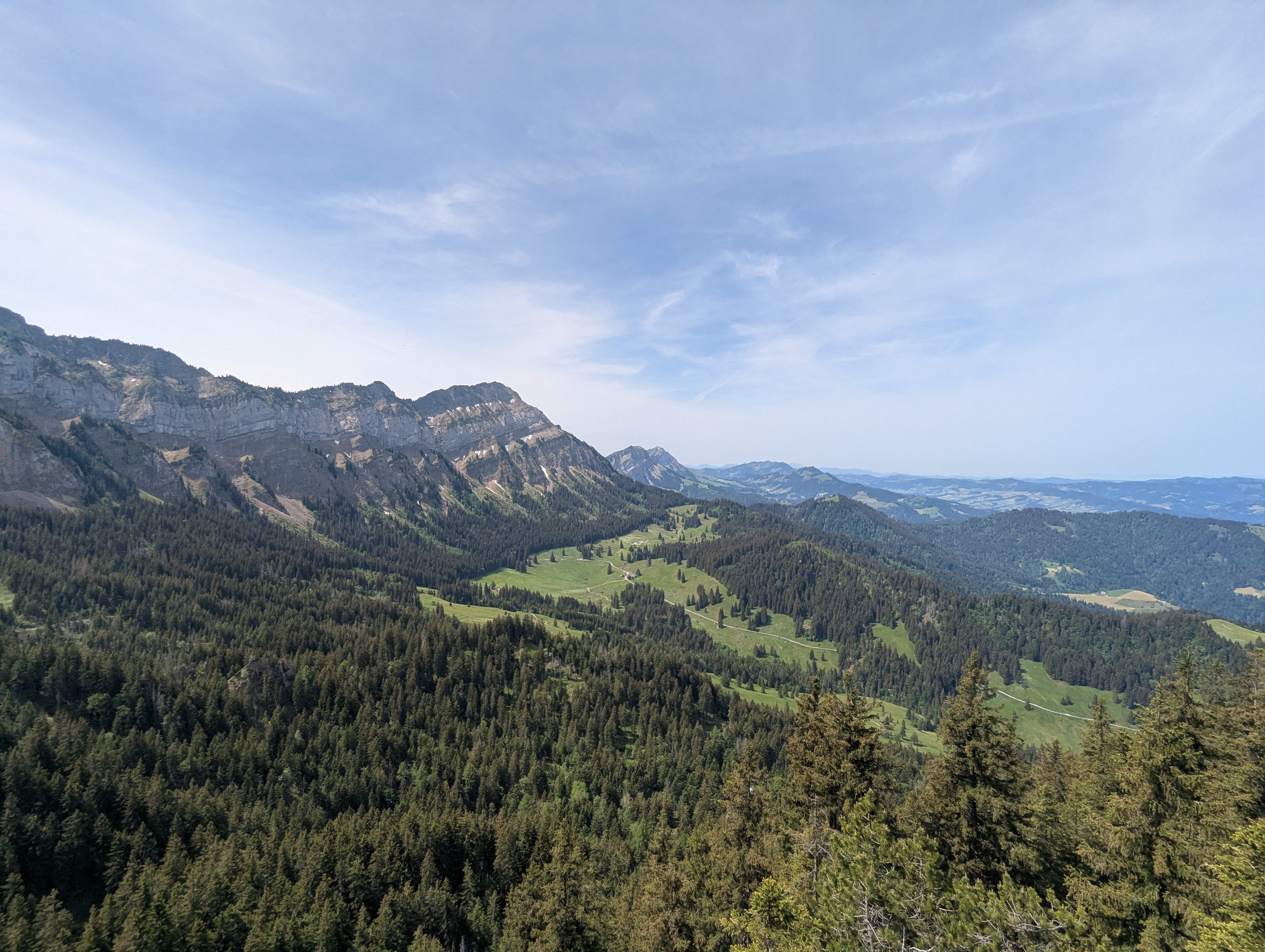
Rägeflüeli and Hüenerhubel
Download GPXAscent top, descent flop. In the future, we would go on a bigger tour including also the Mittaggüpfi, with a different descent.
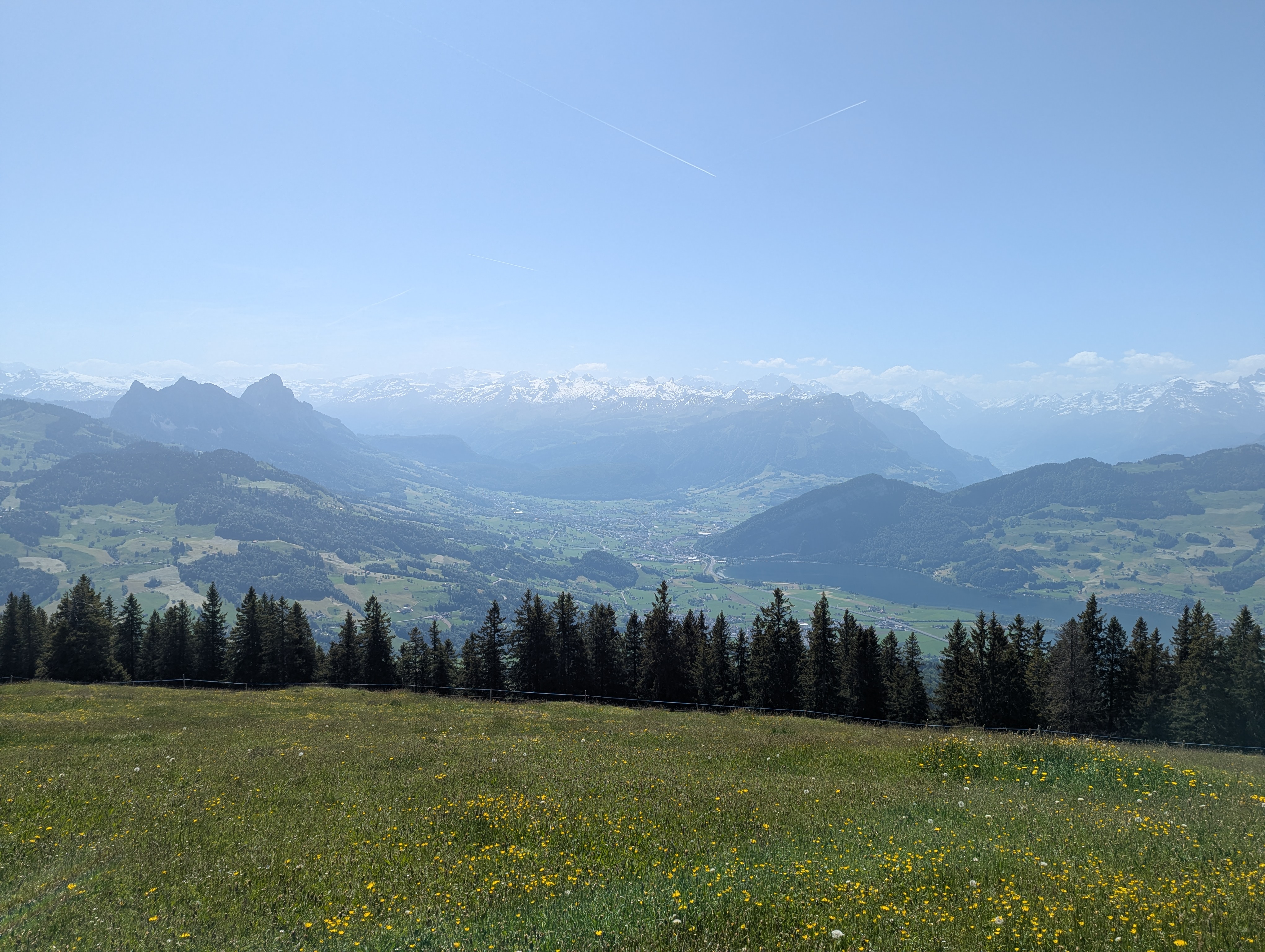
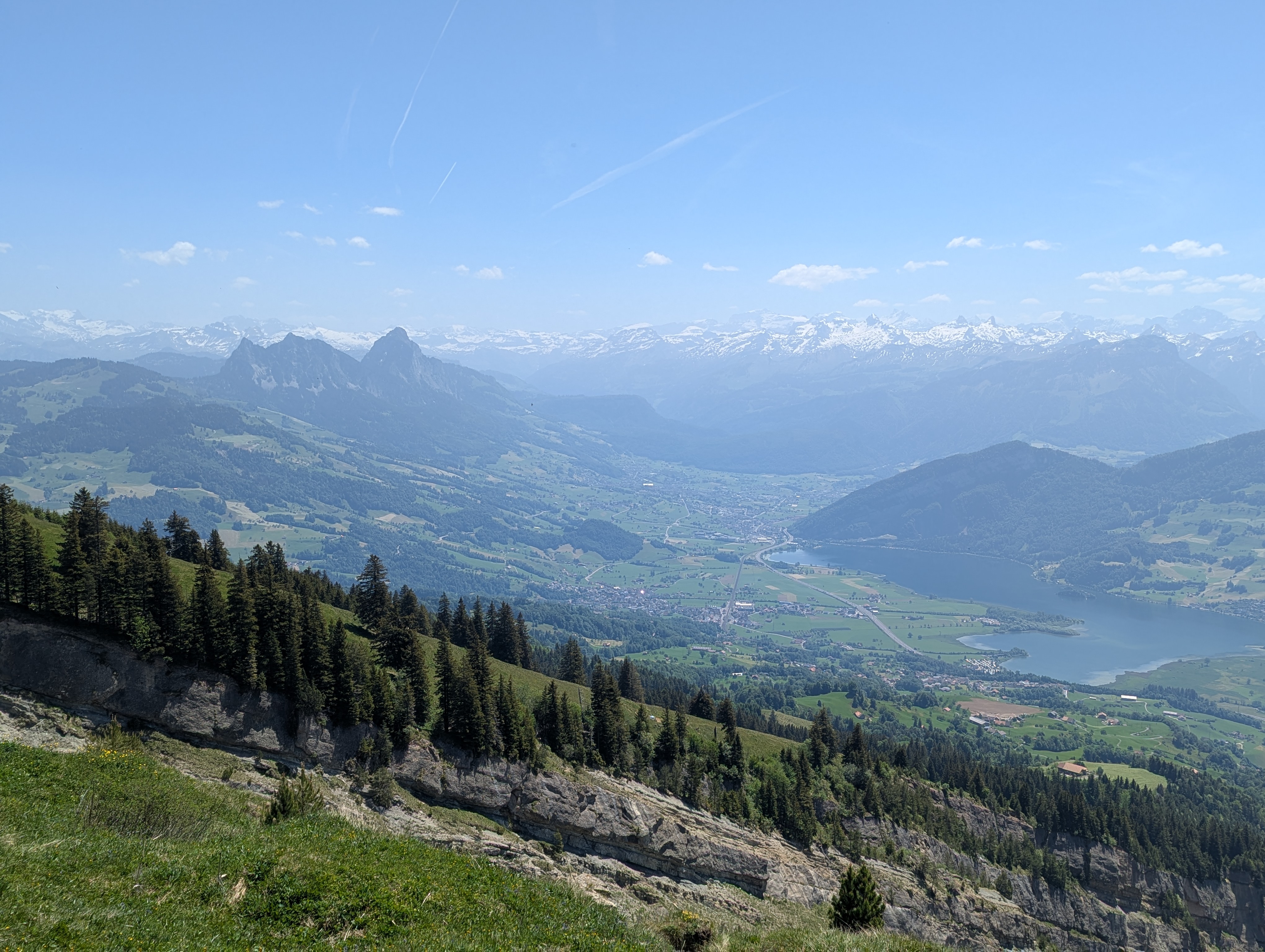
Sattel to Goldau
Download GPXGreat view from the Gnipen. Quite popular hiking trail. Lunch was pasta pesto.
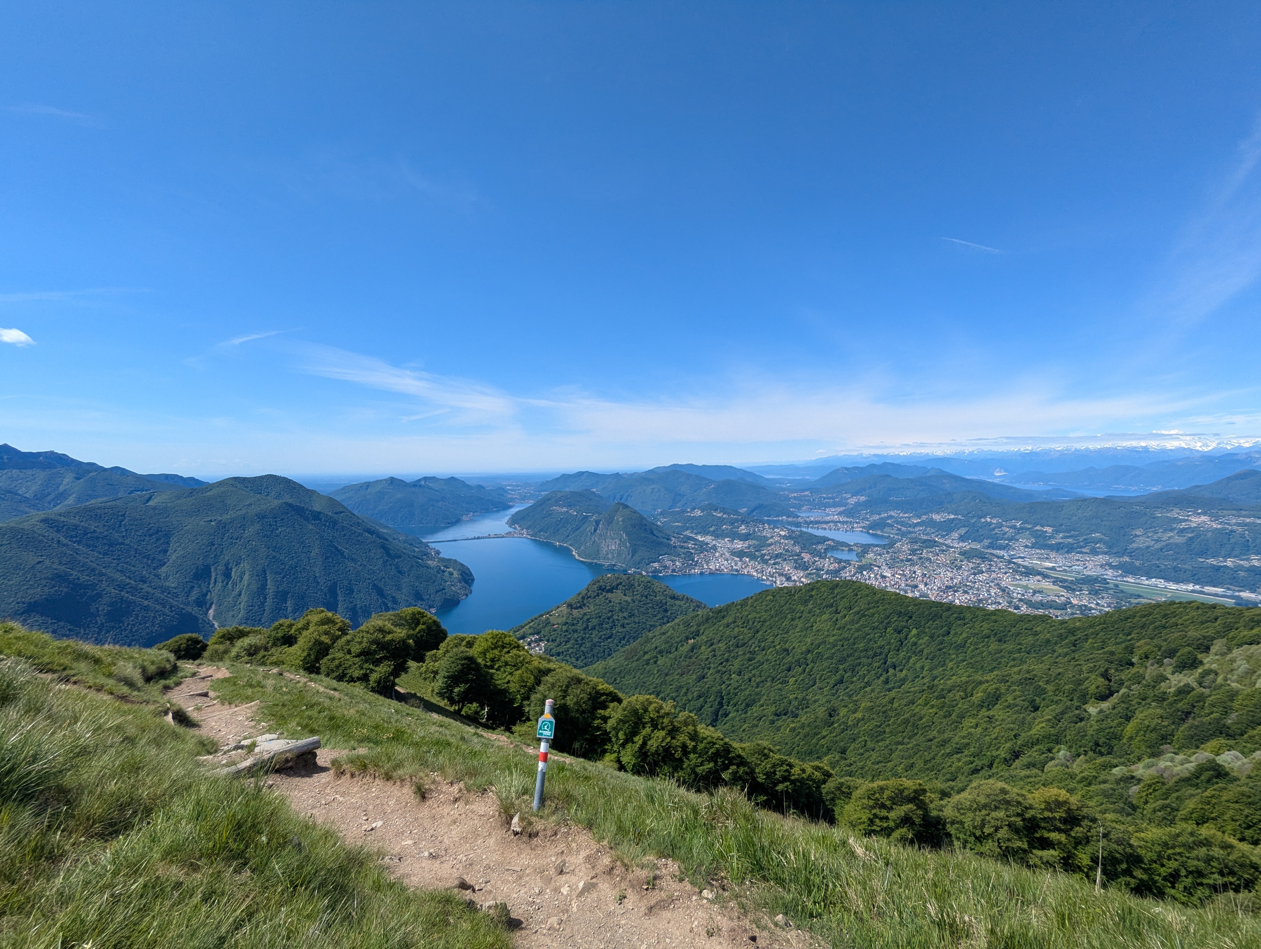
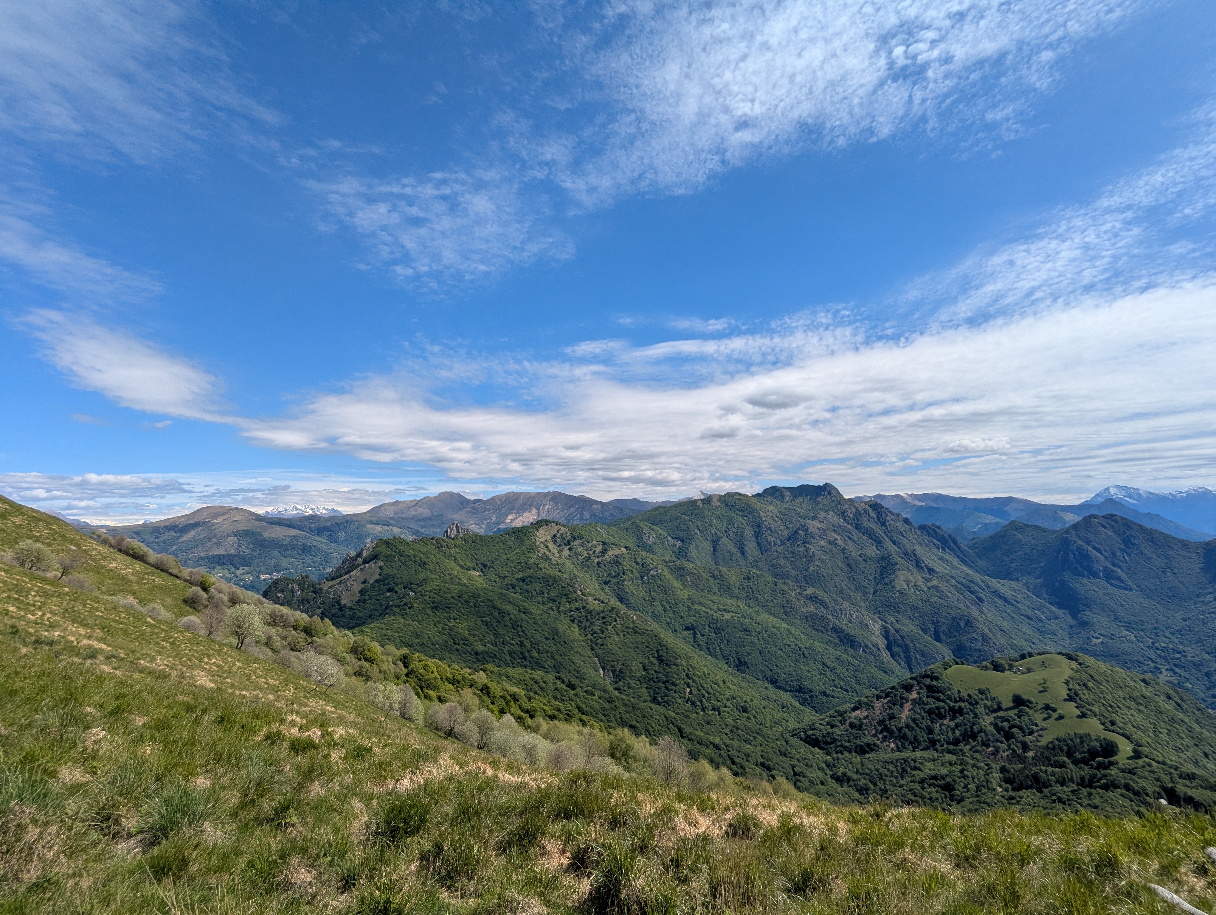
Monte Boglia
Download GPXThe view includes several lakes. It is possible to extend the hike by continuing along the ridge until Cimadera, Paese.
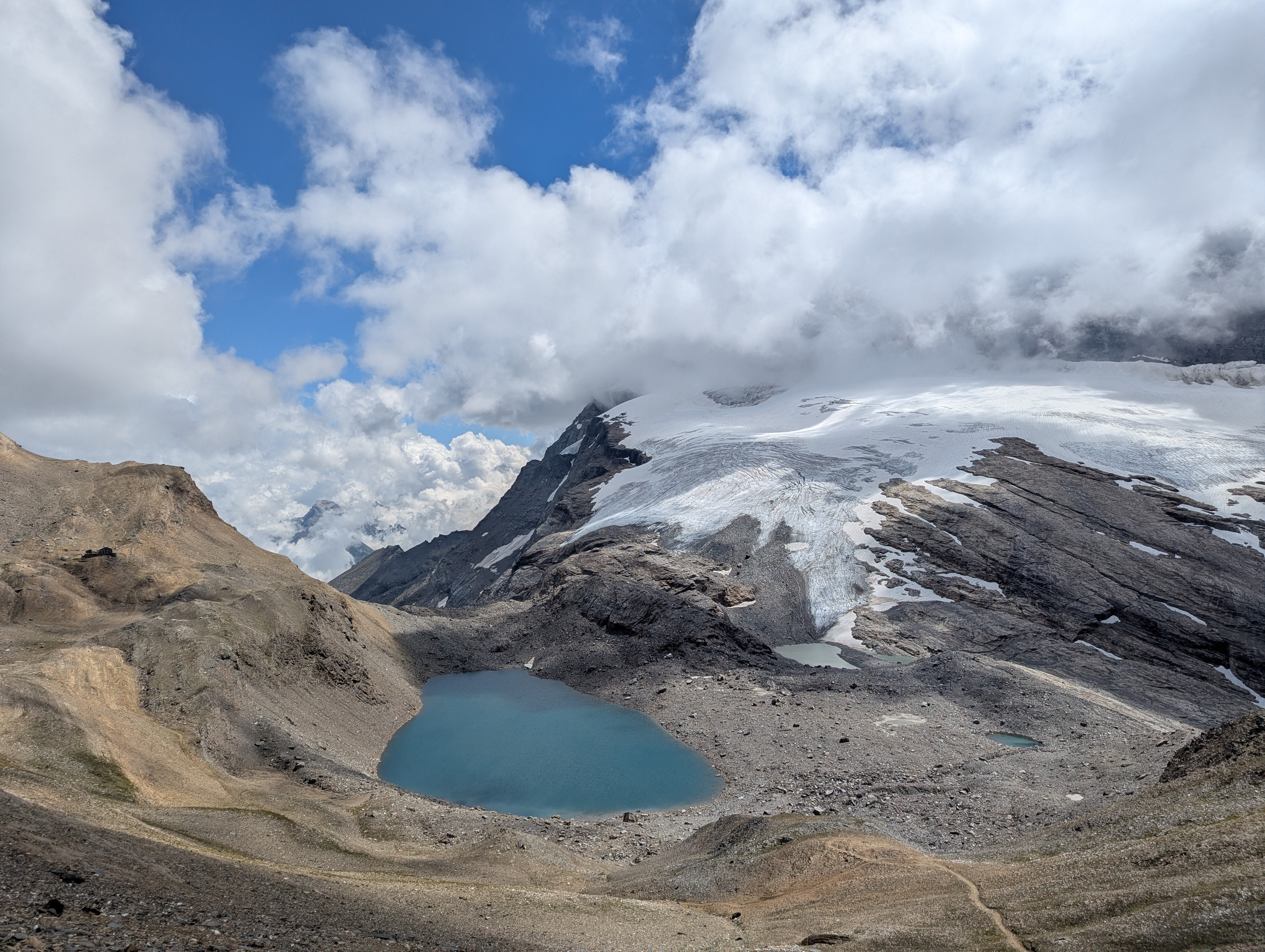
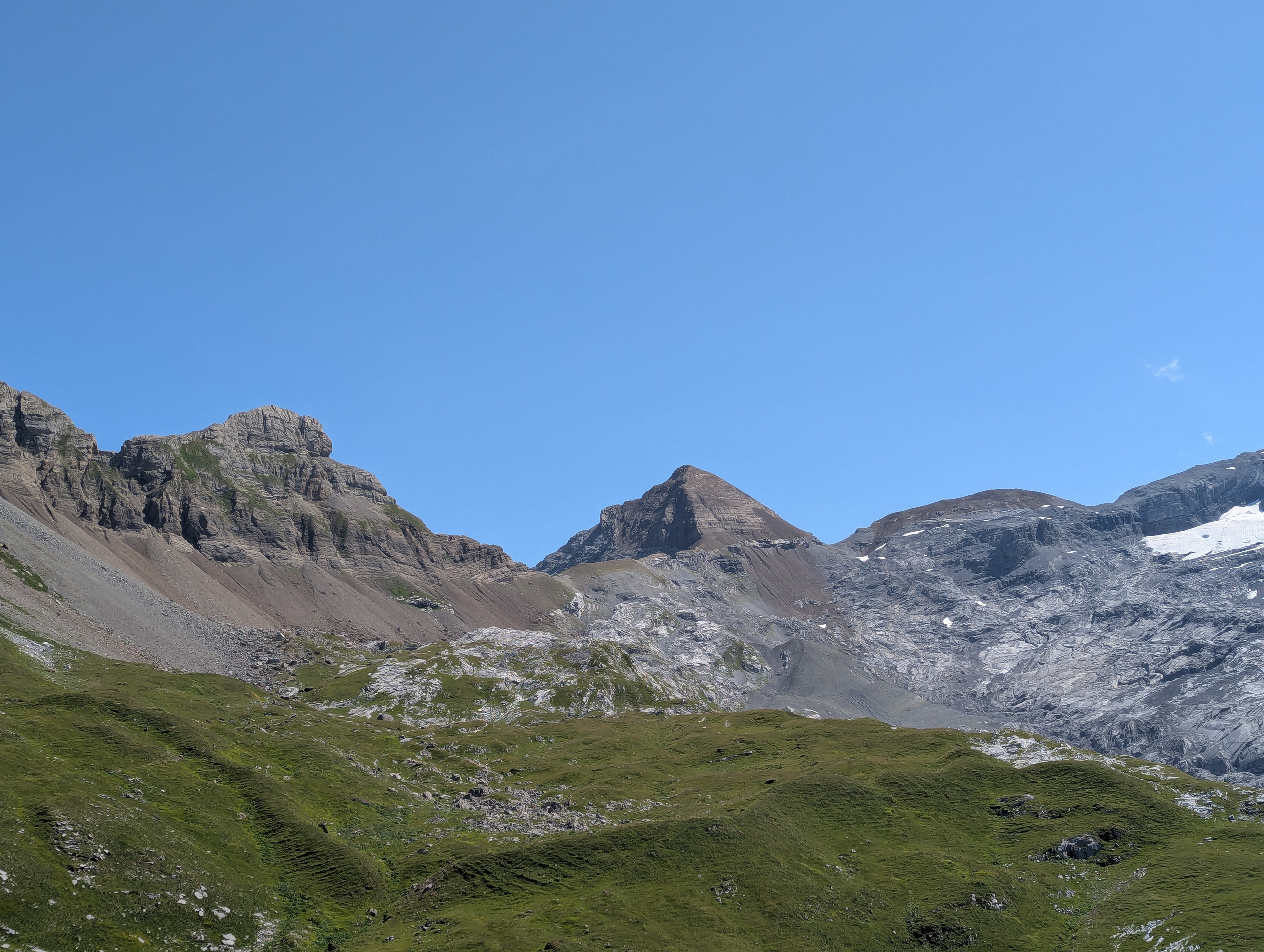
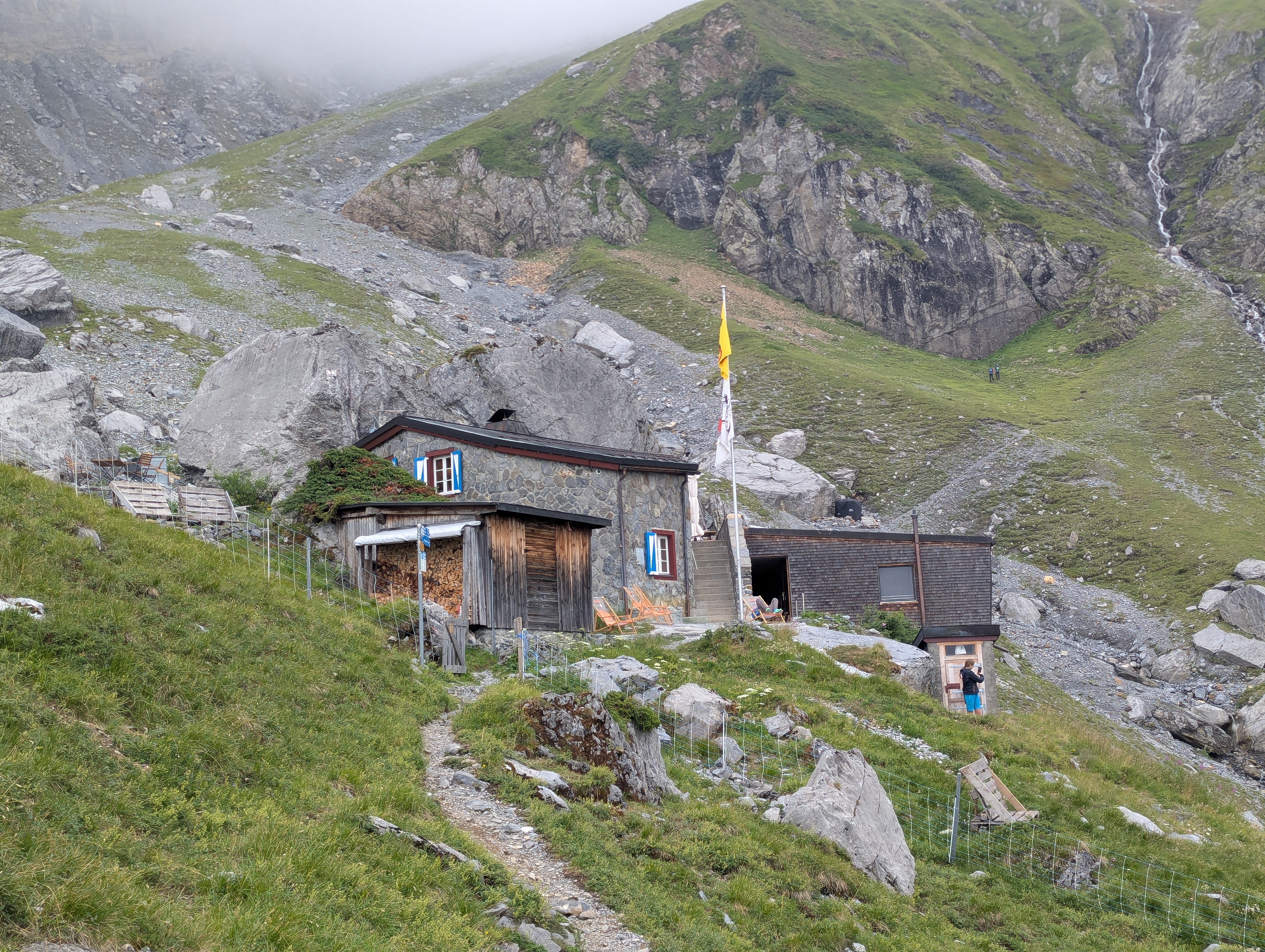
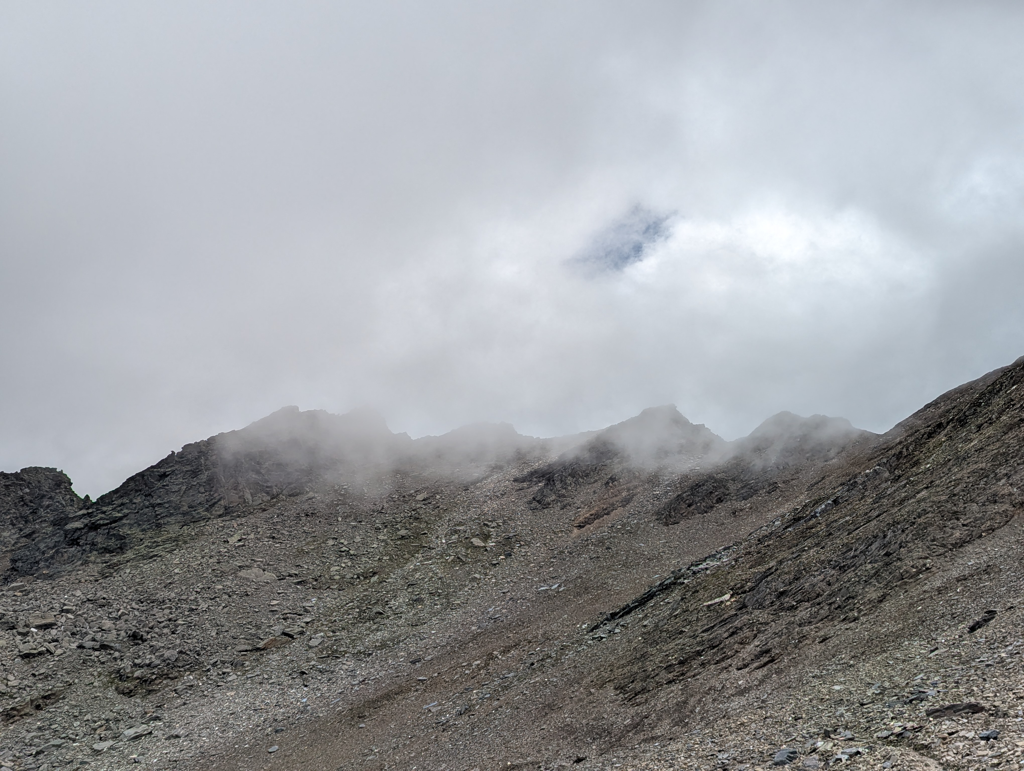
Monte Leone
Download GPXEat cake at Monte Leone SAC hut! Cool view when you get over the ridge and see the Chaltwassergletscher and Chaltwassersee. Ascent looks like Mordor.
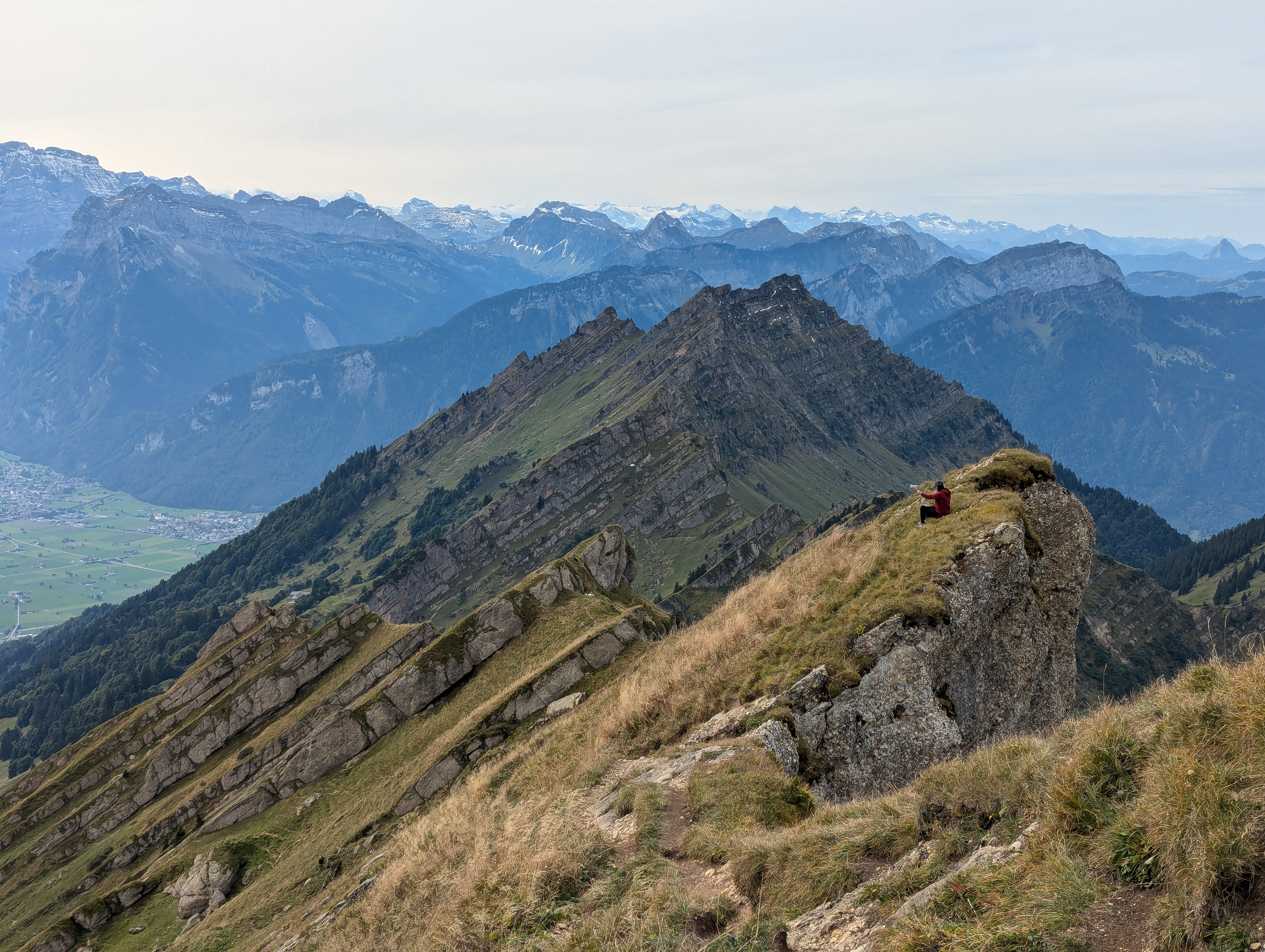
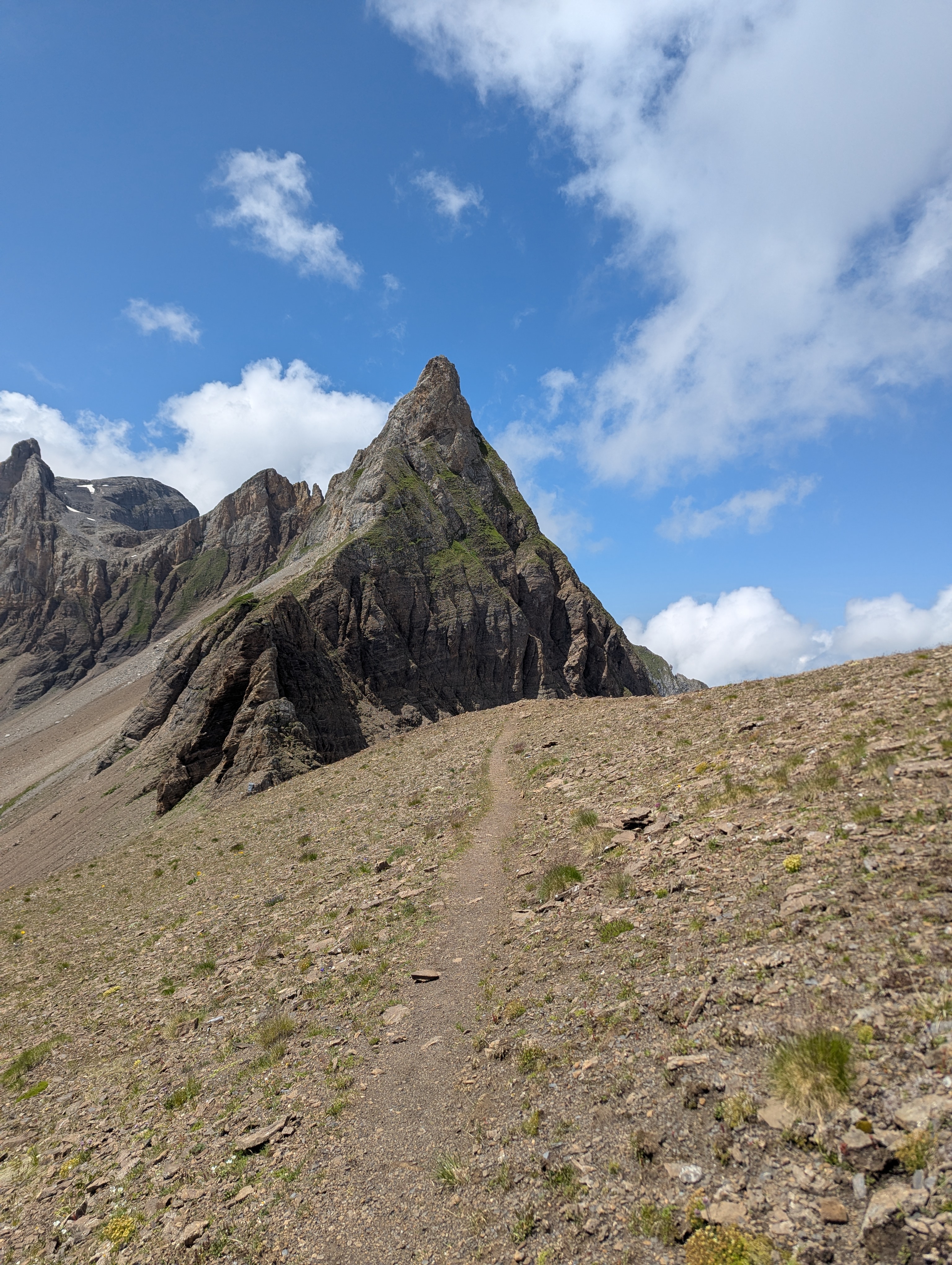
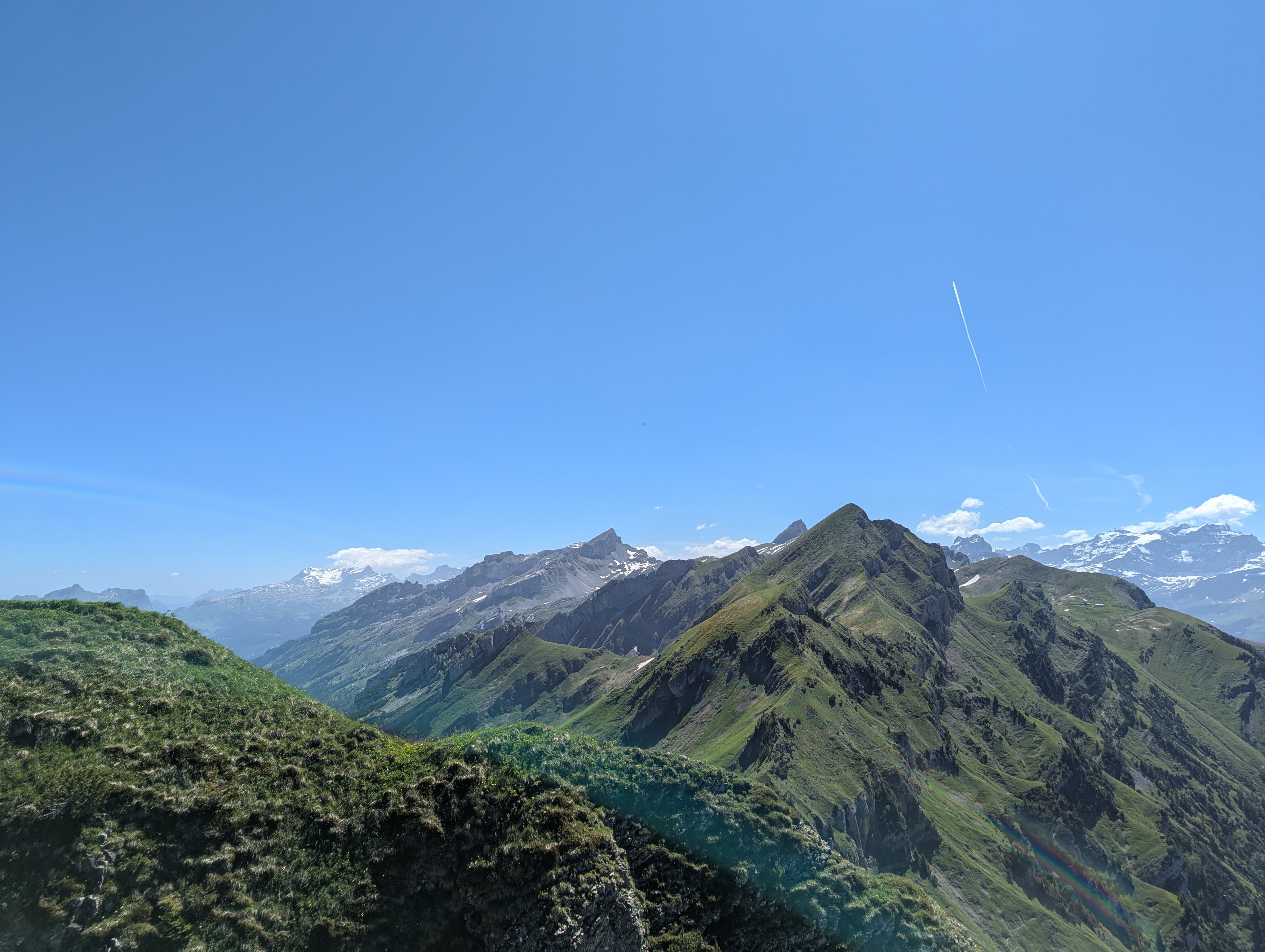
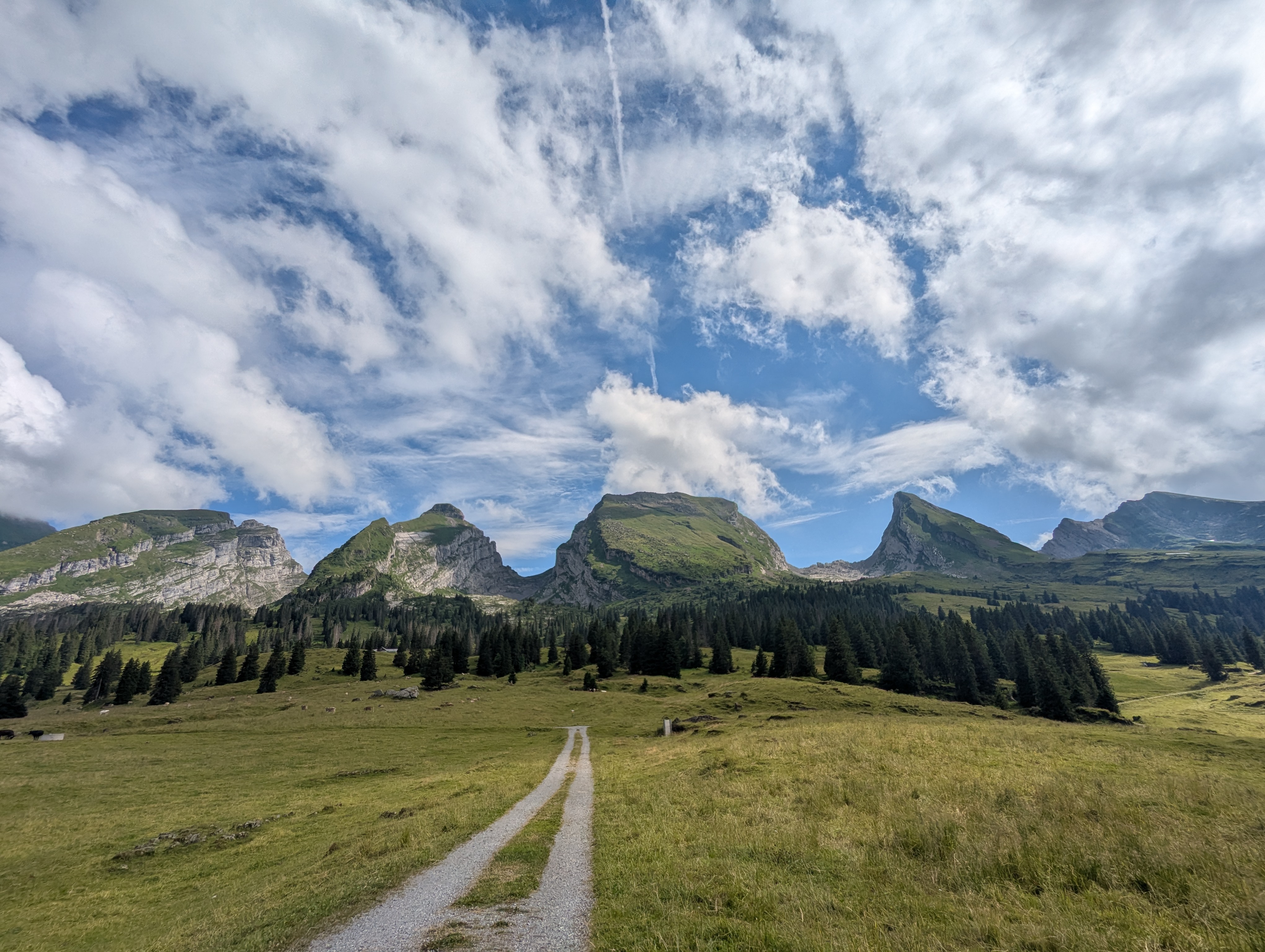
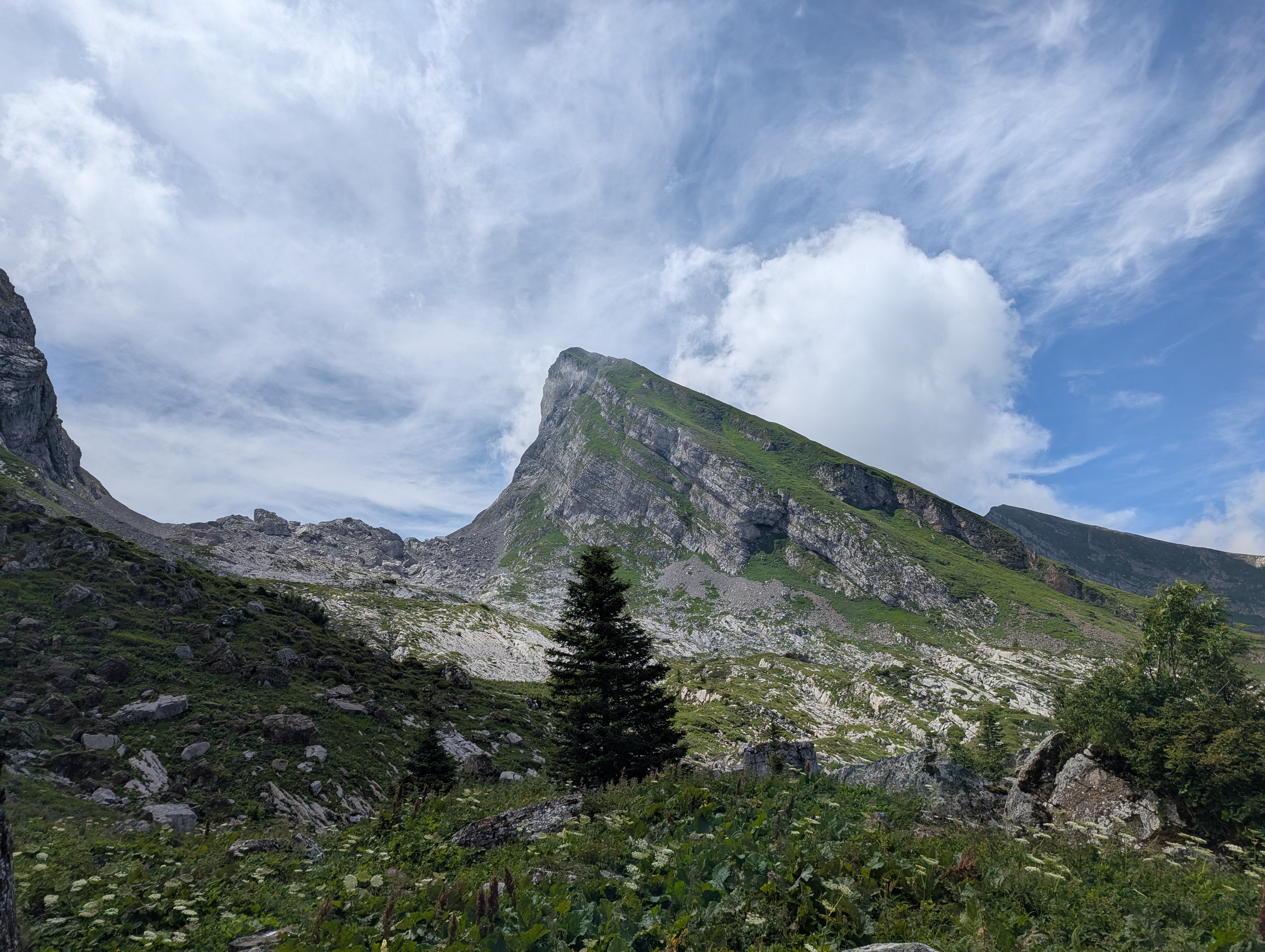
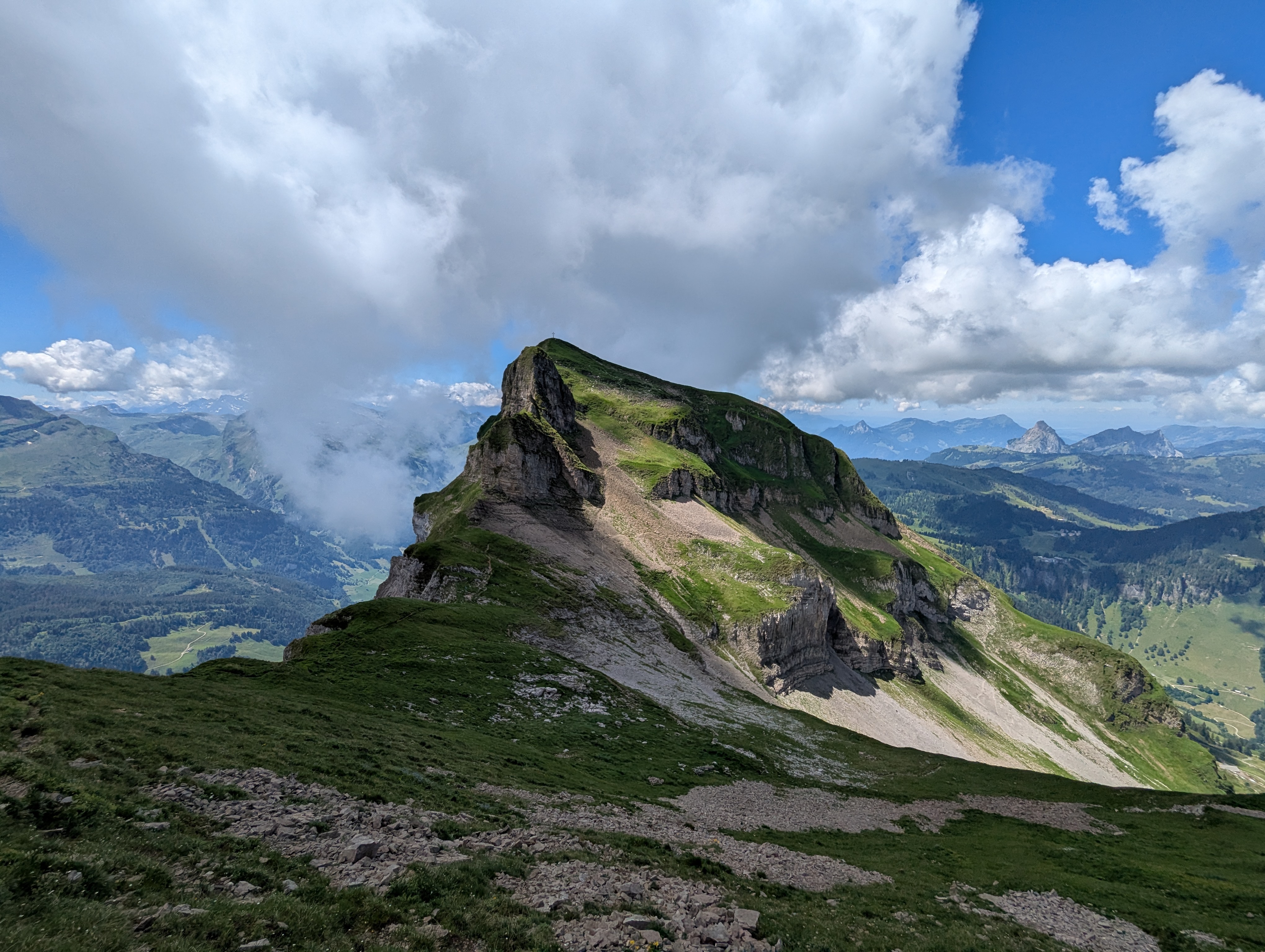
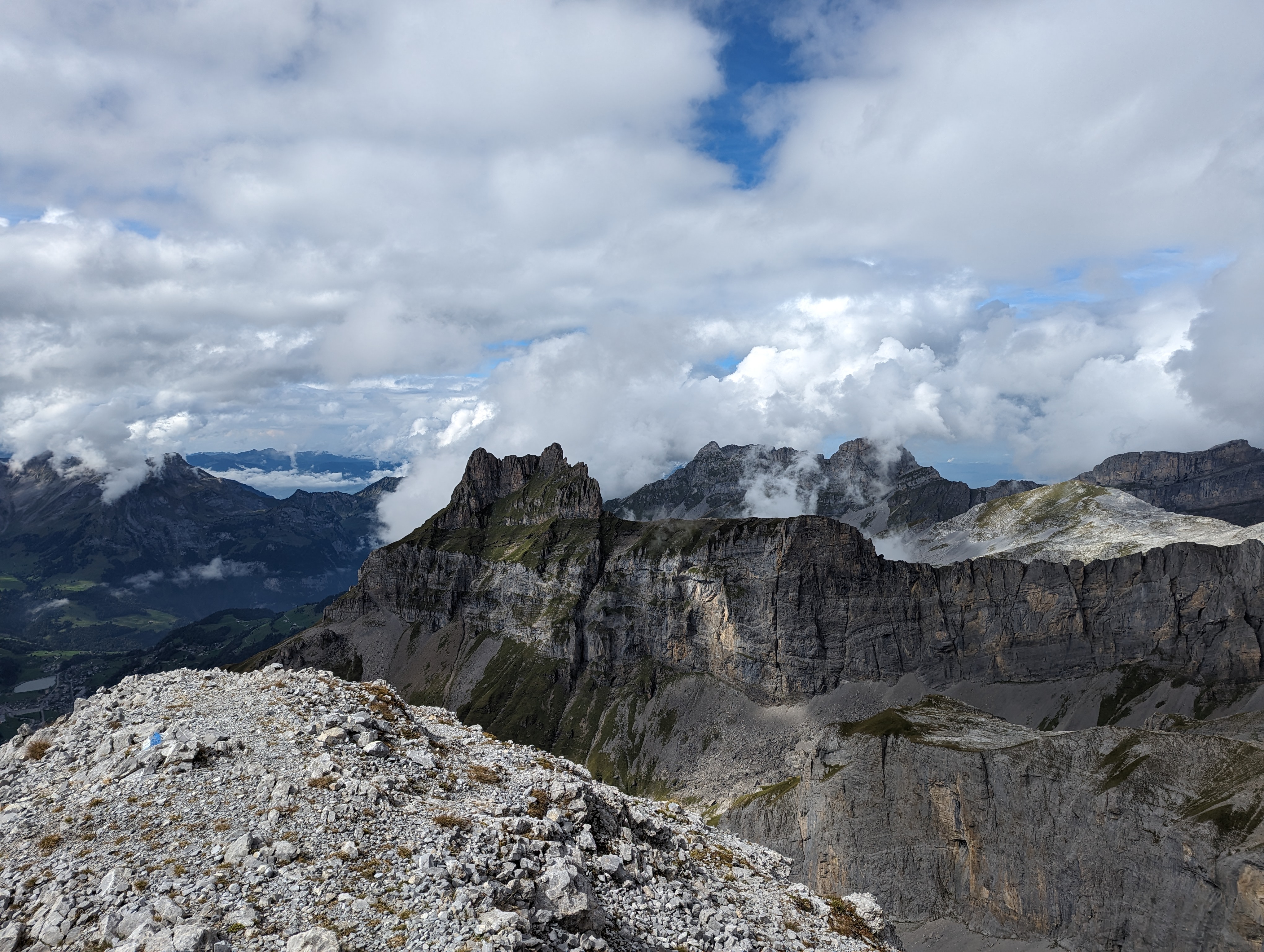
Frümsel & Brisi
Download GPXHiking path very steep and exposed, but not difficult. Great view from the top, and also the flat bit in between the two peaks is nice.
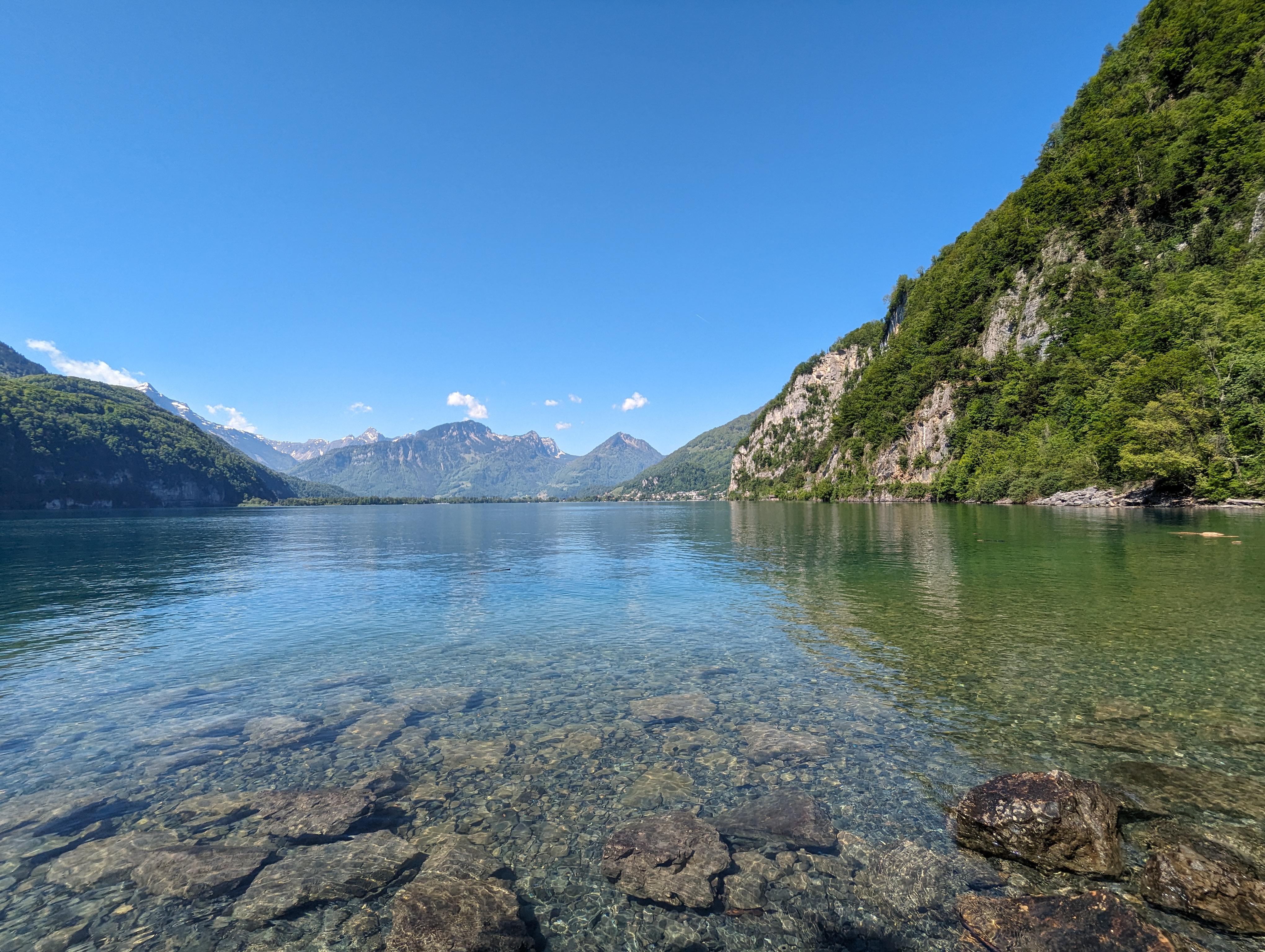
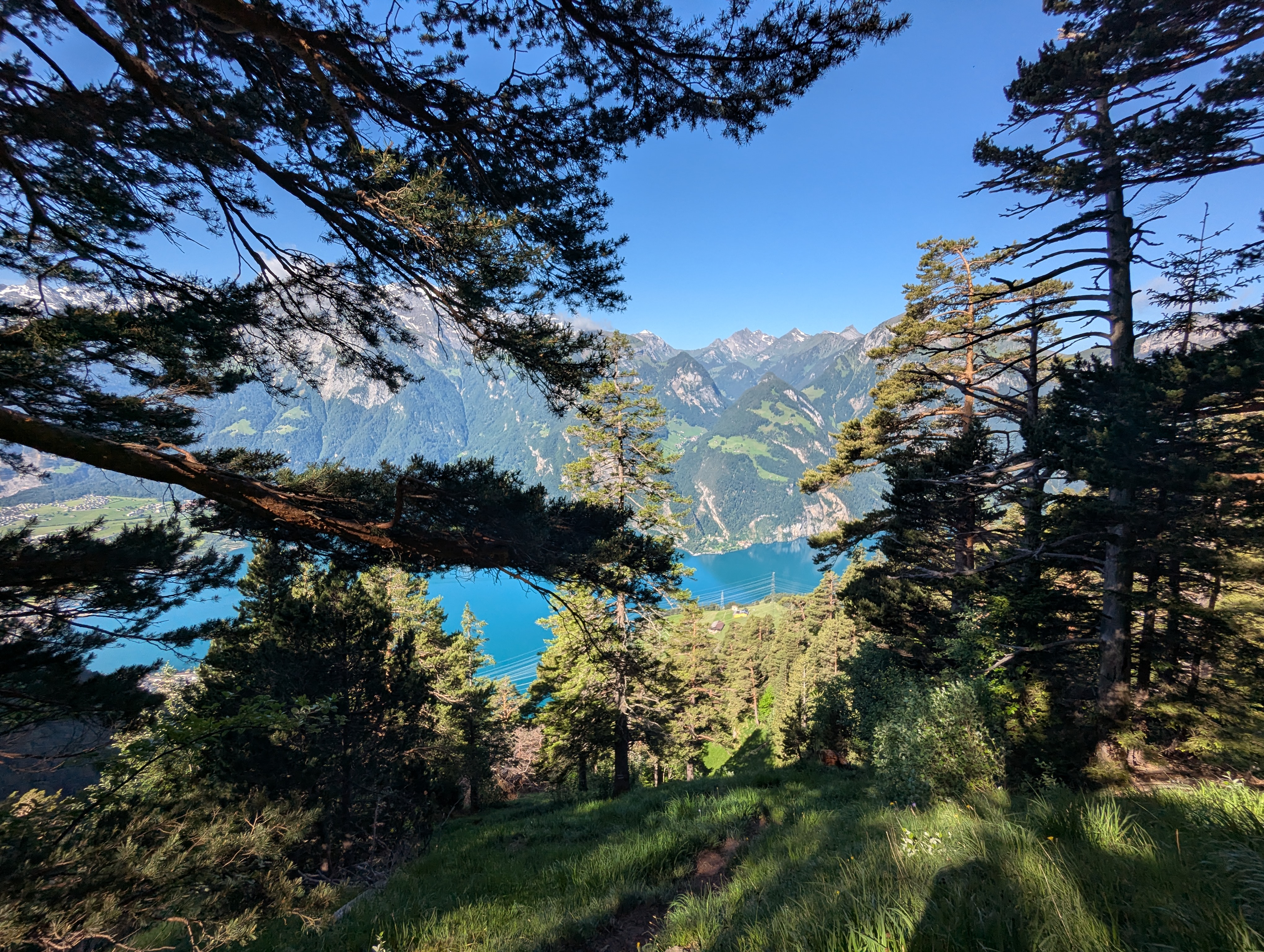
Quinten
Download GPXVery easy hike, but still very nice. Quite popular, so avoid public holidays and go preferably on a normal week day (also not a hike for super hot days due to low altitude). We took the boat back to Murg (the village of Quinten is not accessible by road).
These pages are a personal logbook. Routes, distances, difficulty ratings, and conditions reflect a single trip on a single day; they are not a guide. Verify conditions, your own fitness and equipment, and follow official signage. I take no responsibility for accidents or for any inaccuracy in the information shown here.
Fantastic view on the Engelberger Rotstock. The way up there is a bit sketchy.